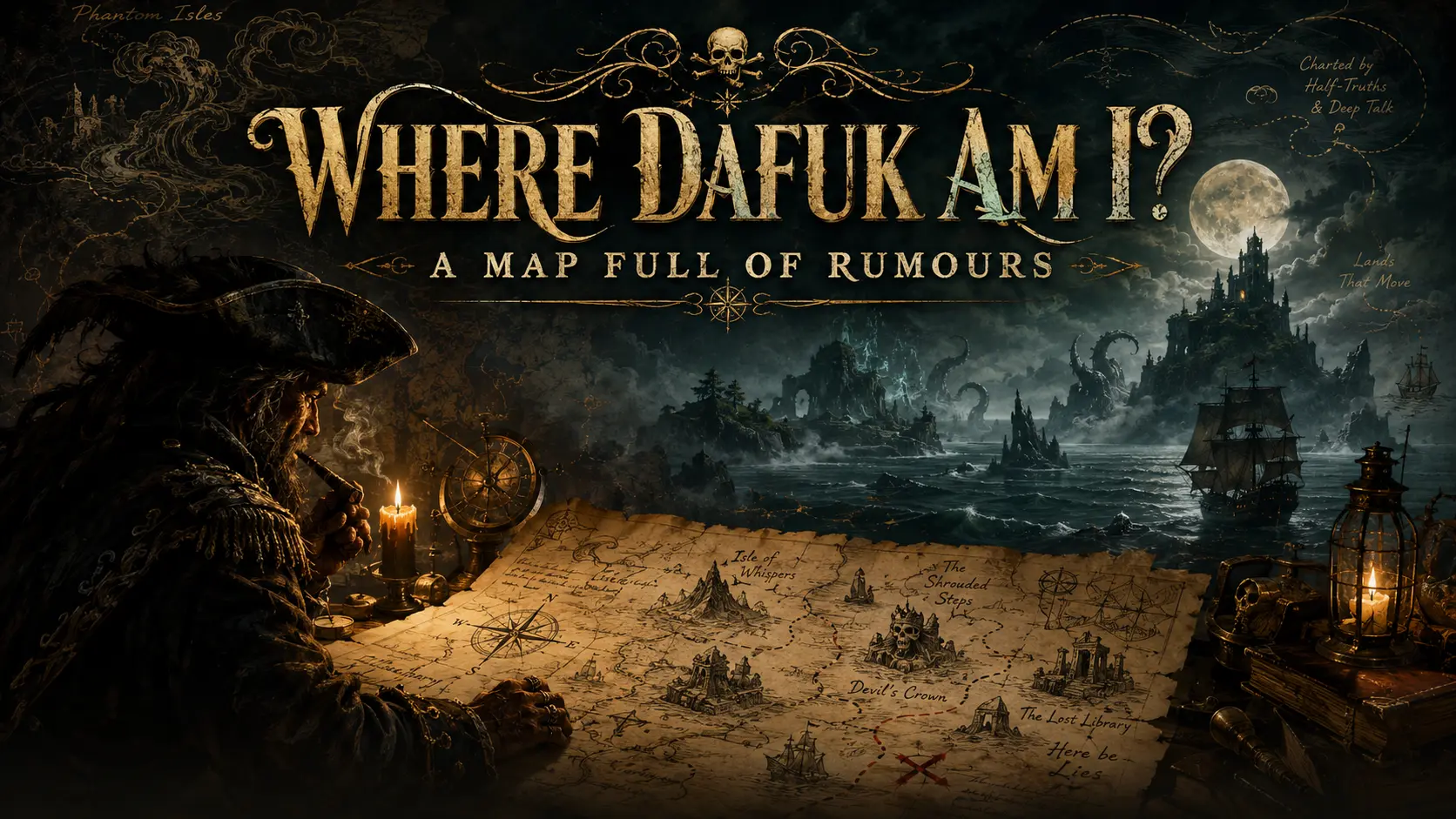
Where Dafuk Am I? — A Map Full of Rumours
Long before Rust Island appeared, maps and stories were already crowded with Atlantis, Hy-Brasil, Saint Brendan, Tsalal, dinosaurs, cursed treasure and islands that were considerably easier to describe than to find.
Long Before Rust
Long before Facepunch created Rust Island, people had already filled maps with places that existed only in stories, legends, books and considerably unreliable conversations between sailors.
Some came with civilizations.
Some came with treasure.
Some appeared only once every seven years.
Others were protected by sea monsters, dinosaurs, cursed pirates or the useful geographical principle that an island cannot be found unless one already knows where it is.
None of this prevented anyone from drawing a coastline.
Give a place a name, a sufficiently good story and somebody willing to put ink on parchment, and geography becomes remarkably accommodating.
Later, writers discovered they did not even need the parchment.
They could place an island wherever the story required one.
When the oceans became too thoroughly mapped, they moved toward Antarctica.
When Antarctica became inconveniently visible, they went beneath the ice.
And when satellites finally removed most remaining excuses, game developers simply generated new islands anyway.
What follows is therefore not a reliable chart.
It is something considerably more traditional.
A captain’s collection of rumours.
Some came from legends.
Some from novels.
Some from films and games.
A few have been repeated for so long that asking exactly where the story ends and the island begins is probably missing the point.
Accuracy is useful at sea.
It is merely optional when discussing places that were never there.
The Islands That Refused to Leave
Not every imaginary island began with a captain pointing excitedly at the horizon.
Some were stories first.
That did not prevent cartographers from eventually giving them coastlines.
Once an island has a name, a story and a sufficiently convincing place on a map, its complete lack of geological existence becomes surprisingly easy to overlook.
Atlantis — Starting Small With an Entire Civilization
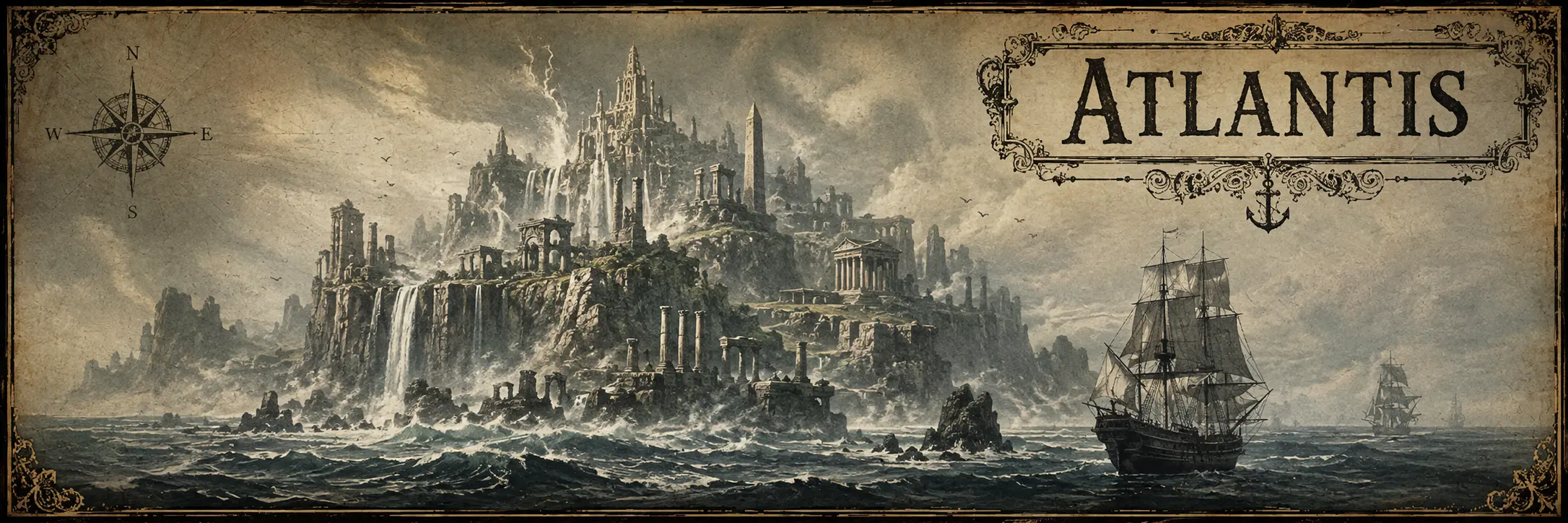
No collection of imaginary Atlantic geography can sensibly avoid Atlantis.
Plato describes Atlantis in the Timaeus and Critias as a powerful island civilization lying beyond the Pillars of Hercules — the Strait of Gibraltar. It wages war against Athens and is eventually destroyed, sinking beneath the sea.
For more than two thousand years, Atlantis has since been moved around the Atlantic, Mediterranean and several other parts of the planet by people convinced that Plato had provided directions rather than philosophy.
Volcanoes have been blamed.
Continents have been rearranged.
Civilizations have been promoted to candidates.
Sonar images have been inspected with determination.
Atlantis remains missing.
Its career, however, has been magnificent.
For an island that disappeared before anyone could verify it, it has accumulated more real estate proposals than many countries.
Antillia — The Island of Seven Cities
By the fifteenth century, Atlantic cartographers had another substantial island to work with.
Antillia, often associated with the Island of the Seven Cities, appears on charts before Columbus crossed the Atlantic.
The accompanying legend developed around Christians fleeing the Muslim conquest of Iberia and establishing seven cities on an island across the sea.
At some point, legend and cartography became comfortable travelling companions.
Antillia could be discussed as a story, drawn as geography and used as a landmark in calculations of the Atlantic distance toward Asia.
Then Europeans actually crossed the ocean.
This was awkward.
The Atlantic contained quite a few islands.
Antillia simply was not among them.
Its name survived rather better than its coastline: the word Antilles eventually became attached to the real islands of the Caribbean.
A respectable retirement for a landmass that had never shown up for work.
Hy-Brasil — Available One Day Every Seven Years
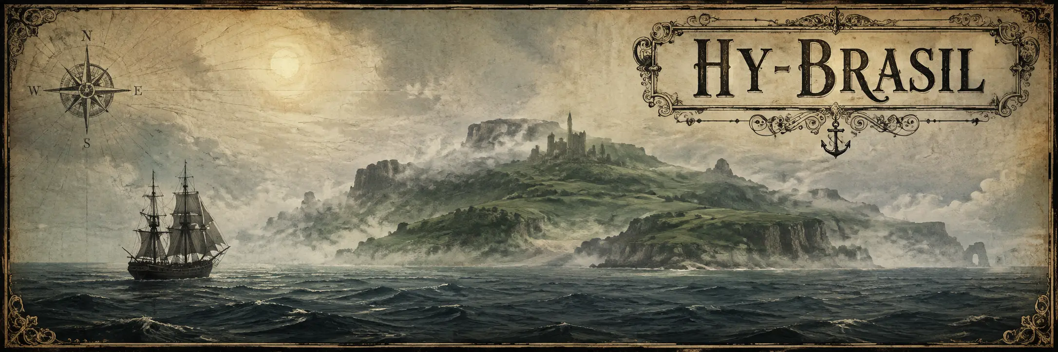
West of Ireland lay an island with an even better solution to the problem of being repeatedly absent.
Hy-Brasil was said in Irish tradition to be hidden by mist and visible only occasionally — famously, one day every seven years.
Versions of Brasil appeared on maps for centuries.
Cartographers changed its position.
Sailors searched for it.
Reports of sightings kept the story alive long after repeated voyages should probably have made the matter uncomfortable.
But Hy-Brasil possessed a useful defence unavailable to ordinary islands:
if you could not see it, that was part of the legend.
It belongs to a surprisingly persistent family of islands that are not exactly lost. They are simply unavailable most of the time — hidden by fog, revealed only under particular conditions, reachable only by certain travellers, or willing to appear when the story decides the conditions are right.
A very convenient arrangement for an island with no intention of submitting to a survey.
Geography is much easier when absence counts as supporting evidence.
Saint Brendan’s Island — Several Years West of Ireland
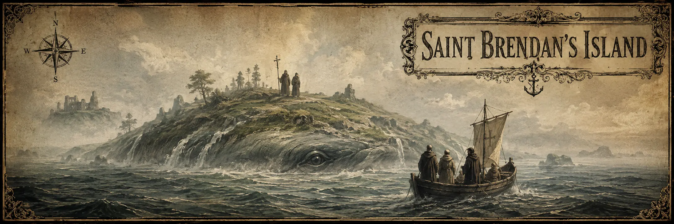
The story of Saint Brendan the Navigator offered something more elaborate than a simple island sighting.
The medieval Navigatio Sancti Brendani describes Brendan and his monks travelling through a fantastic Atlantic filled with strange islands and wonders before eventually reaching the Promised Land of the Saints, a fertile land where they remain for forty days.
The voyage became enormously influential.
Saint Brendan’s Island was subsequently placed on Atlantic maps for centuries, sometimes west of Ireland and at other times much farther south near the Canary Islands.
Expeditions were even launched to find it.
The journey also contains one of the better warnings ever issued to people landing on unknown islands.
At one stop, Brendan’s monks celebrate Easter on what they believe is solid ground.
Then the ground begins moving.
They have landed on the back of an enormous sea creature.
Apparently even when Saint Brendan found an island, checking whether it was alive remained advisable.
Mayda — Persistence Is a Form of Geography
Then there is Mayda.
Mayda appears under several names and spellings on medieval and later maps, usually as a crescent-shaped island somewhere west of Brittany and southwest of Ireland.
Its position wandered considerably.
Its existence did not.
Even as other imaginary lands disappeared from increasingly accurate charts, Mayda somehow survived.
This is perhaps the purest form of cartographic immortality.
Nobody needs to know exactly where the island is.
One merely needs a previous map showing that somebody else apparently knew.
Copy carefully.
Move slightly if necessary.
Publish.
Repeat for several centuries.
Eventually the island acquires seniority.
When the Writers Took the Helm
By the nineteenth century, explorers were becoming increasingly inconvenient.
Every new voyage removed another blank space from the map.
Fortunately, writers were under no obligation to surrender them.
If an unknown continent could no longer sit comfortably in the temperate South Atlantic, it could move toward Antarctica.
If the surface became too well explored, there was always the possibility of going beneath it.
And if geography refused to cooperate altogether, one could simply invent a better geography.
Symzonia — There Was Still Room Inside the Planet
Published anonymously in 1820 under the name Captain Adam Seaborn, Symzonia: A Voyage of Discovery took the problem of disappearing blank spaces and solved it with admirable efficiency.
It stopped looking for them on the surface.
Captain Seaborn sails south under the respectable pretext of a sealing voyage, while secretly intending to test contemporary ideas that the Earth might be hollow and accessible through enormous openings at the poles.
He eventually reaches the southern polar opening and discovers an inhabited world inside the planet.
The inhabitants of Symzonia are peaceful, highly civilized and considerably less impressed with the outside world than Seaborn might have hoped.
The southern continent had barely begun disappearing from maps, and somebody had already decided that perhaps the cartographers were simply looking on the wrong side of the crust.
A useful habit of thought, as Antarctica would spend the next two centuries hiding an extraordinary amount of material beneath its surface.
Tsalal — Edgar Allan Poe Goes South
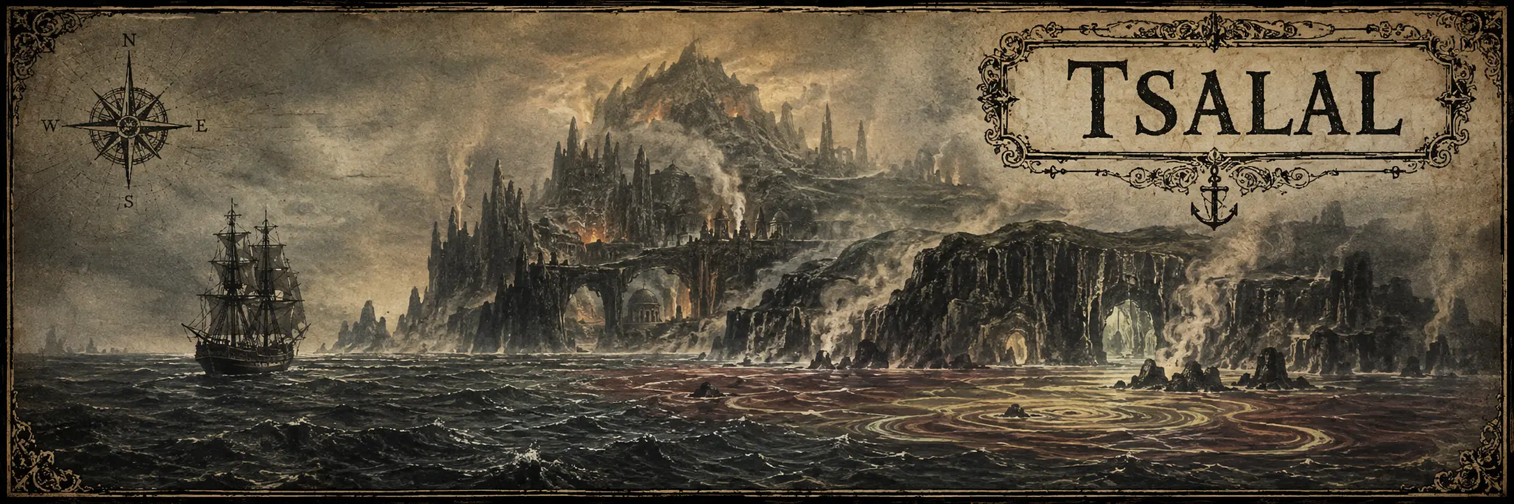
In 1838, Edgar Allan Poe published his only complete novel, The Narrative of Arthur Gordon Pym of Nantucket.
It begins as a fairly recognizable maritime adventure.
That condition does not survive the voyage south.
Pym eventually joins the Jane Guy, which continues toward increasingly unexplored Antarctic waters. Beyond the familiar world, the expedition encounters Tsalal, part of an unknown island group.
Tsalal is fertile, inhabited and profoundly strange.
Its water does not behave like ordinary water. Its animals and landscape contain unfamiliar features. White objects terrify the inhabitants. Underground passages contain markings whose origin is uncertain.
Then Pym leaves Tsalal and continues farther south.
Things become less reasonable from there.
The sea grows warmer.
Strange vapours appear.
Enormous white birds emerge from the mist.
Finally, the voyage approaches something enormous and unexplained before the narrative simply ends.
Poe had discovered an excellent advantage to placing the end of a story near the South Pole in 1838:
nobody could sail there afterward and complain about the scenery.
Le Sphinx des glaces — Jules Verne Demands an Explanation
Poe left Arthur Gordon Pym with one of literature’s more inconvenient endings.
Jules Verne apparently decided that sixty years was long enough to tolerate it.
Published in 1897, Le Sphinx des glaces — An Antarctic Mystery in English — is explicitly presented as a continuation of Poe’s novel.
Verne treats Pym’s account as something that actually happened and sends another expedition south to discover what became of the people and places Poe left behind.
Tsalal is revisited.
The fate of the Jane becomes part of the investigation.
And Poe’s final unexplained journey is pulled into the sort of adventure Verne preferred: one where mysteries are expected, eventually, to submit paperwork.
Most wonderfully, Verne transforms the mysterious final Sphinx into an enormous magnetic formation whose force provides an explanation for Pym’s fate.
Poe had sailed into the unknown and stopped.
Verne sailed after him carrying instruments.
It is difficult to imagine a more appropriate literary disagreement.
Caprona — The South Atlantic Gets Dinosaurs
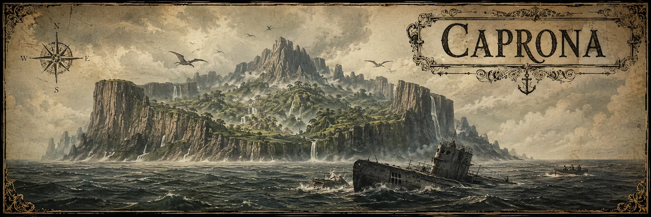
By 1918, simply finding an unusual island was apparently no longer sufficient.
Edgar Rice Burroughs gave his island dinosaurs.
In The Land That Time Forgot, a German U-boat and a collection of unwilling travelling companions become hopelessly lost during the First World War and eventually discover Caprona, an uncharted land cut off from the outside world.
Behind its surrounding cliffs lies Caspak, a warm interior containing prehistoric animals, primitive humans and an evolutionary system operating according to rules of its own.
The 1975 film adaptation makes the geography particularly convenient for us: its damaged U-boat is explicitly lost in the South Atlantic when it encounters Caprona.
So by the time cinema got hold of the idea, the formula had become pleasantly straightforward:
lose a submarine in the South Atlantic,
find an island nobody knew existed,
add dinosaurs.
One should never accuse adventure fiction of making a simple problem unnecessarily complicated.
At the Mountains of Madness — The Island Is No Longer Necessary
By the time H. P. Lovecraft wrote At the Mountains of Madness in 1931, Antarctica itself was finally becoming recognizable enough that an imaginary island was almost unnecessary.
The continent would do.
The story follows a scientific expedition whose members discover extraordinary fossils and then the remains of an immense ancient city beyond a previously unknown Antarctic mountain range.
The builders were not human.
They had been on Earth long before humanity existed.
Lovecraft therefore moved the mystery one step farther.
The unknown land no longer needed to be somewhere beyond the maps.
It could be underneath the ice, behind the mountains and buried beneath geological time.
Exploration had finally reached the end of the world.
Imagination merely dug deeper.
When Fiction Stopped Pretending
The older islands lived in an uncomfortable space between belief and invention.
Modern fiction had no such difficulty.
Once readers accepted that an author was creating the island deliberately, there was no longer any need to produce witnesses, navigational errors or elderly sailors with suspiciously convenient memories.
The island simply had to be interesting.
Treasure Island — Draw the Map First
Robert Louis Stevenson approached the problem from the correct direction.
He drew the island first.
In 1881, while entertaining his stepson, Stevenson sketched an imaginary island complete with bays, forests, swamps and evocative names.
The story followed.
The resulting map became integral to Treasure Island, combining the visual language of real nautical charts with fictional geography and, most importantly, crosses marking where the treasure had been buried.
There was no need to decide where in the real Atlantic the island belonged.
It had a coastline.
It had soundings.
It had a compass rose.
It had treasure.
For generations of readers, that proved quite sufficient.
One suspects many real islands have entered popular memory with considerably less documentation.
Libertalia — The Pirate Republic That May Have Been Too Good
Among pirate stories sits Libertalia, a supposed colony founded by pirates in or near Madagascar.
The story is associated with Captain Misson and appears in A General History of the Pyrates, published in the eighteenth century.
Libertalia was described not simply as a pirate base, but as an egalitarian settlement whose inhabitants rejected conventional government, slavery and social hierarchy.
Whether Misson or Libertalia ever existed is another matter entirely.
Most historians treat the story with considerable suspicion.
Which leaves us with a particularly elegant pirate island:
a supposedly real place whose most enduring evidence is a story written during the golden age of turning pirates into legends.
For once, the treasure may have been the political philosophy.
The Black Island — Scotland Needed One More
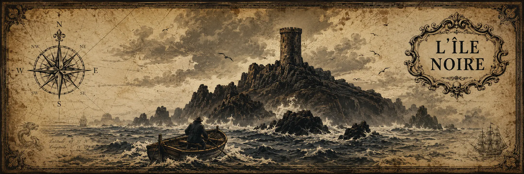
Hergé’s The Black Island takes Tintin to Britain in pursuit of a criminal organization operating from an island off the Scottish coast.
The island contains a ruined castle, a counterfeiting operation and a supposedly terrifying beast protecting the criminals from unwanted visitors.
The geography is intentionally believable.
Scotland already possesses enough rocky islands, ruined castles and miserable weather that adding one more requires very little explanation.
This is one of fiction’s most efficient techniques.
Do not invent an impossible world.
Put one plausible island just beyond the reader’s familiarity and behave as though everyone else simply overlooked it.
Isla de Muerta — You Cannot Find It Unless You Already Know Where It Is
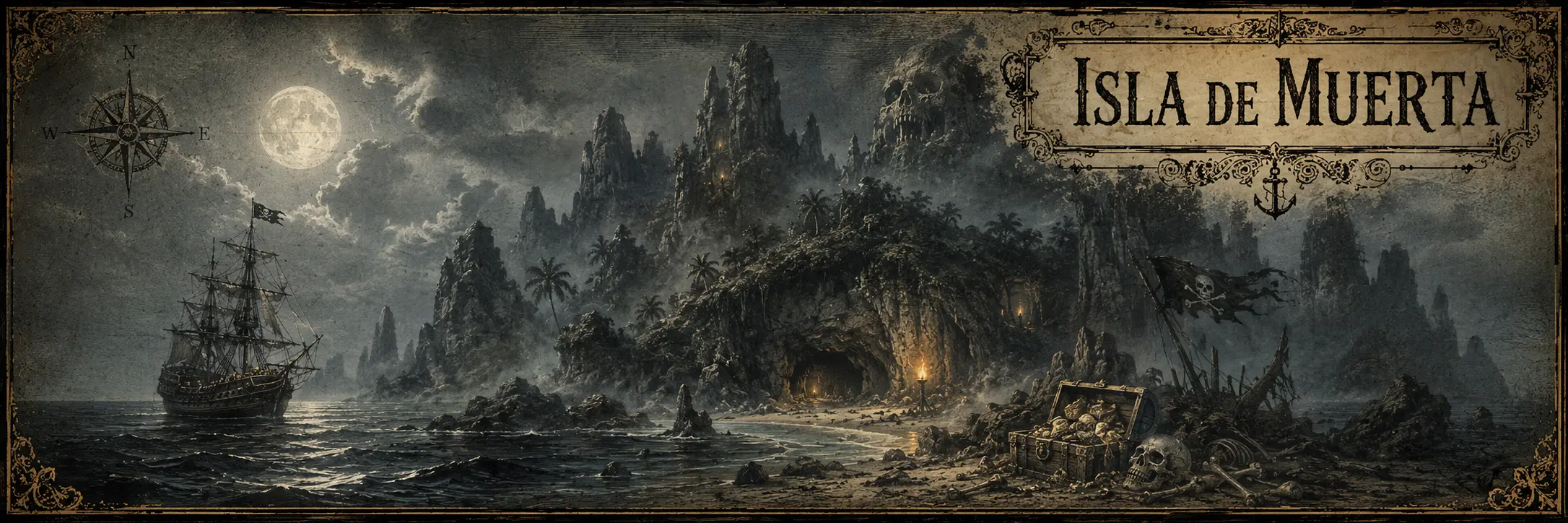
Pirates of the Caribbean: The Curse of the Black Pearl dispenses with ordinary navigation altogether.
Isla de Muerta is a Caribbean island containing the cursed Aztec treasure taken by Barbossa’s crew.
Jack Sparrow explains its geography with admirable precision:
it cannot be found except by someone who already knows where it is.
This is an excellent rule for maintaining an undiscovered island in the age of reasonably competent maps.
Later franchise material has the island swallowed by the sea.
So Isla de Muerta begins inaccessible, serves its narrative purpose and then disappears.
Cartographers throughout history would have appreciated the efficiency.
Themyscira — The Island Is There. You Are the Problem.
DC’s Themyscira, originally known as Paradise Island, is the hidden homeland of Wonder Woman and the Amazons.
Unlike Hy-Brasil or Saint Brendan’s Island, Themyscira is not missing because somebody wrote down the wrong longitude.
It is hidden because the story requires it to remain separated from the outside world.
That gives Themyscira a useful modern variation on an ancient idea.
The island exists.
Its inhabitants know exactly where it is.
If the rest of humanity cannot find it, that is largely humanity’s problem.
A considerably more dignified arrangement than being erased from the chart.
When the Map Ran Out of Blank Space
By the late twentieth century, satellites, aircraft and modern surveying had made one thing increasingly difficult:
accidentally discovering a large new island in the Atlantic.
This proved to be only a minor inconvenience.
Writers, filmmakers and game developers no longer needed a blank space on an old chart.
If the story required an island, they could simply provide one.
Atlantis no Nazo — An Island Simply Appears
In 1986, Japanese developer Sunsoft released Atlantis no Nazo for the Famicom.
Its premise wastes remarkably little time on geographical formalities.
A sudden movement of the Earth’s crust causes a huge island to appear in the South Atlantic.
The discovery attracts expedition after expedition.
Nobody returns.
Eventually people begin calling the mysterious island Atlantis, and sensible travellers stop going anywhere near it.
Naturally, this is when the game’s young explorer decides to go there alone in search of his missing mentor.
The game contains one hundred interconnected zones of plains, caves, ruins, underground areas and considerably less reasonable places, all contained within an island that simply arrived one day because the plot required real estate.
By 1986, apparently, even the Atlantic had developed procedural generation.
Metavira — Jagged Alliance Finds Some Useful Property
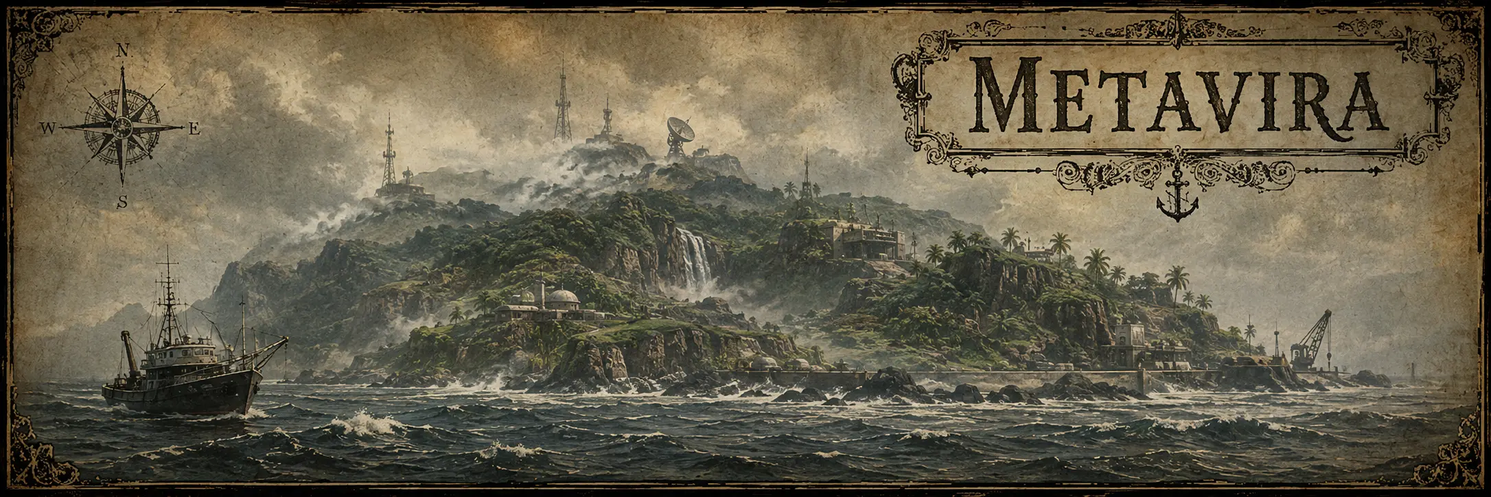
Jagged Alliance, released in the 1990s, takes place on Metavira, a fictional island in the South Atlantic.
This particular island comes with rather more infrastructure.
Metavira had previously been used for nuclear testing. Radiation altered trees growing there, which were later discovered to produce a sap with extraordinary medicinal properties.
Scientists establish themselves on the island.
The resource becomes valuable.
Someone decides he would prefer to own all of it.
Armed men appear.
The player is then hired to bring mercenaries to Metavira and recover the island sector by sector.
So, decades before Rust, another game developer had already placed a fictional island in the South Atlantic, added abandoned nuclear history, scientists, valuable resources and armed factions, then invited the player to take control of the territory.
There are coincidences.
And then there are genres.
Stargate — Apparently Earth Had a Spare One
Stargate SG-1 joined the tradition in 1998 with “Solitudes,” when O’Neill and Carter emerge through a second Stargate buried beneath the Antarctic ice. The gate is eventually located roughly 50 miles from the very real McMurdo Station. Later episodes expand the idea: the Antarctic gate is revealed as Earth’s original Stargate, an Ancient is found preserved in the ice, and an Ancient outpost containing powerful defensive technology lies buried beneath the continent.
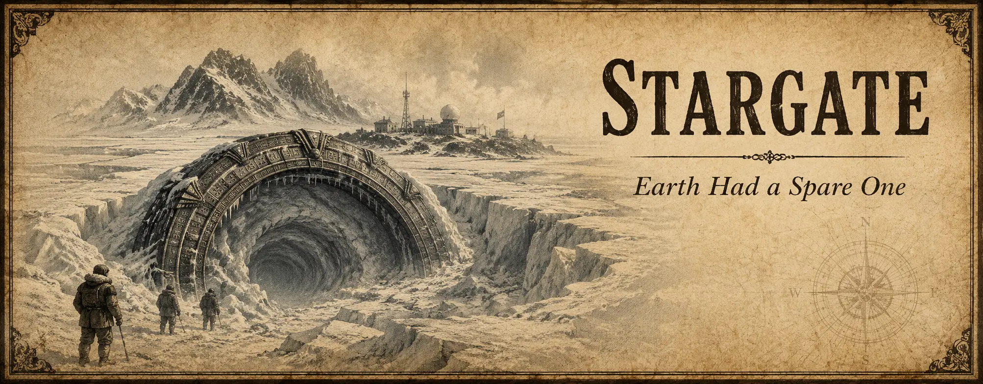
By then, inventing another island was apparently unnecessary. Stargate simply took Antarctica, kept the geography and placed several million years of extraterrestrial history underneath it. McMurdo happens to sit on the Pacific side of the continent, but the technique is familiar: keep the real geography and put the impossible part underneath it.
once the maps are full, start digging.
The Atlantic Was Never Empty
There is one problem with describing the old Atlantic as a blank space.
It was only blank on certain maps.
Long before European cartographers finished deciding which islands belonged where, people living along the coasts of South America and Africa already had their own ways of understanding what lay beyond the shoreline.
Those traditions do not always give us convenient islands with coordinates.
They give us something rather more interesting: lands that could be reached but not necessarily found, waters separating different worlds, spirits inhabiting real islands and stories that crossed the Atlantic and changed while doing so.
The cartographer may have seen empty water.
The people standing on the shore did not.
Yvy Marã e’ỹ — The Land Beyond the Sea
Among Guarani traditions is Yvy Marã e’ỹ, commonly translated as the Land Without Evil.
It is a complicated idea, and one that should not be reduced to a single treasure-map version of paradise. Different Guarani groups and historical accounts describe it in different ways.
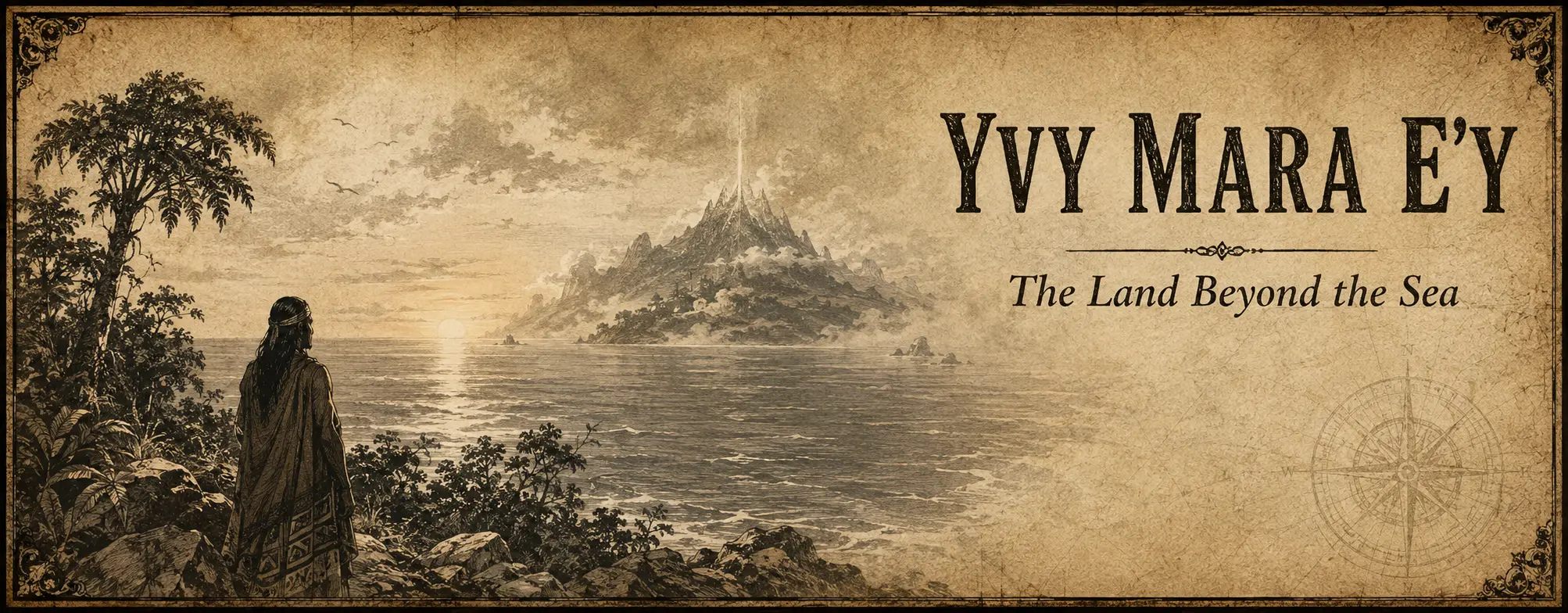
But the relationship with the eastern sea is very real.
Among Mbyá Guarani traditions on the Brazilian coast, crossing the sea and reaching the mythical Land Without Evil forms part of a much broader spiritual geography.
Some accounts even describe an island or distant land somewhere beyond the water, accessible to those capable of completing the journey.
No useful latitude.
No longitude.
Rather inconsiderate for our map.
But perhaps that is precisely the point.
This was not a phantom island accidentally misplaced by a navigator.
It was a destination whose geography belonged to another way of describing the world.
Some islands disappear because nobody can find them.
Others were never supposed to be found by everybody.
Kianda — Luanda Already Had Something in the Water
Across the Atlantic, on the Angolan coast, Kianda belongs to traditions associated with the waters around Luanda.
Kianda remains deeply rooted in the cosmology surrounding Ilha de Luanda, although she is not a fixed character with one canonical biography.
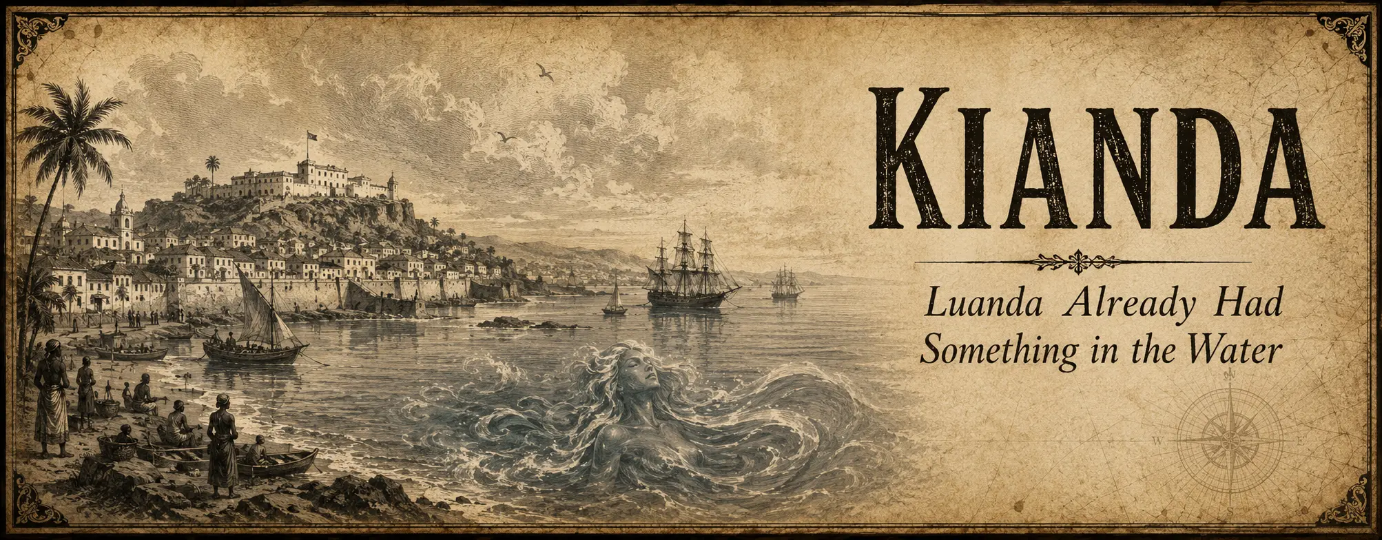
Interpretations changed with Luanda itself.
The spirit remained.
In 1995, Angolan writer Pepetela published O Desejo de Kianda and brought the older water spirit into a modern Luanda transformed by war, urban development and political change.
The older tradition therefore acquired a modern literary life without needing a newly discovered island.
The island was already there.
The spirit was already there.
The novelist merely introduced them to modern urban planning.
The results were predictable.
At least to Kianda.
Iemanjá — A Story Changed by Crossing the Atlantic
Then there is Iemanjá.
And here the Atlantic does not merely contain the story.
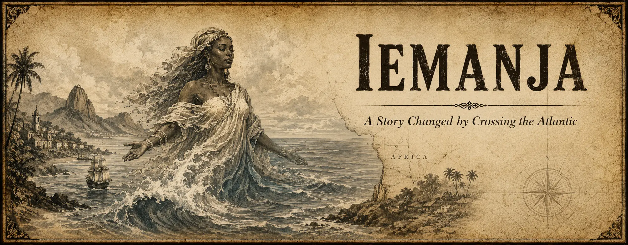
It changes it.
The divinity known in Yoruba tradition as Yemọja was associated in Africa primarily with freshwater traditions.
Through the forced movement of African peoples across the Atlantic, her traditions travelled to the Americas.
In Brazil, Iemanjá became something considerably larger:
one of the most prominent figures of Afro-Brazilian religion and, importantly for us, a divinity of the sea.
Her Brazilian image continued evolving through Candomblé, Umbanda, Catholic iconography, artistic representations and popular culture until she became deeply associated with the ocean itself.
So here we have no missing island at all.
We have something perhaps more appropriate to the Atlantic:
a story that entered the ocean on one shore and arrived differently on the other.
The geography remained exactly where it was.
The mythology travelled.
Water Between Worlds
Along parts of the west-central African coast, water could carry meanings much larger than navigation.
In Kongo cosmology, water can function as a boundary between the world of the living and the ancestral realm.
That matters here because it reminds us how easily an old map can mislead us about what an ocean contained.
A European chart might show an empty blue space between Angola and Brazil.
Historically, that same water carried people, religions, languages, memories and stories in both directions.
Some survived almost unchanged.
Others became something new.
And some became so deeply attached to the opposite shore that separating “African” from “American” eventually becomes rather less useful than simply calling them Atlantic.
Same ocean.
Different maps.
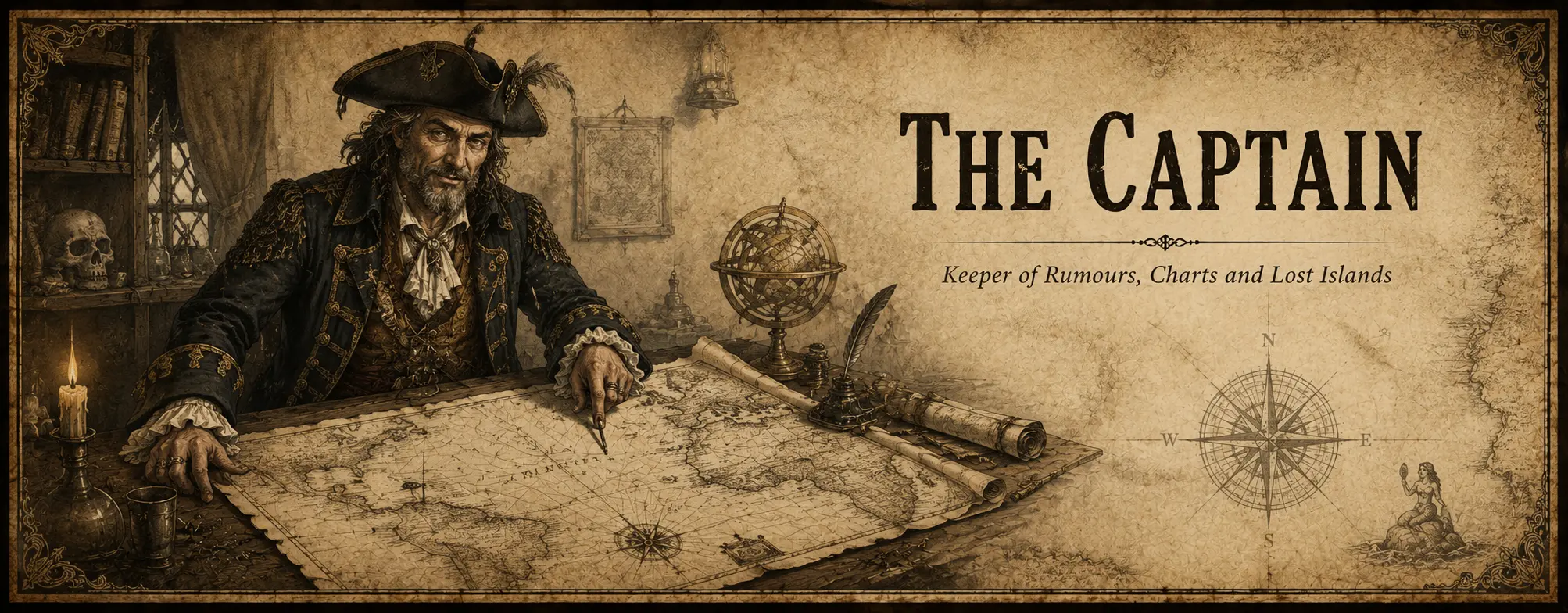
The Pirate Map
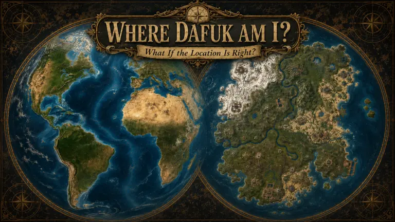
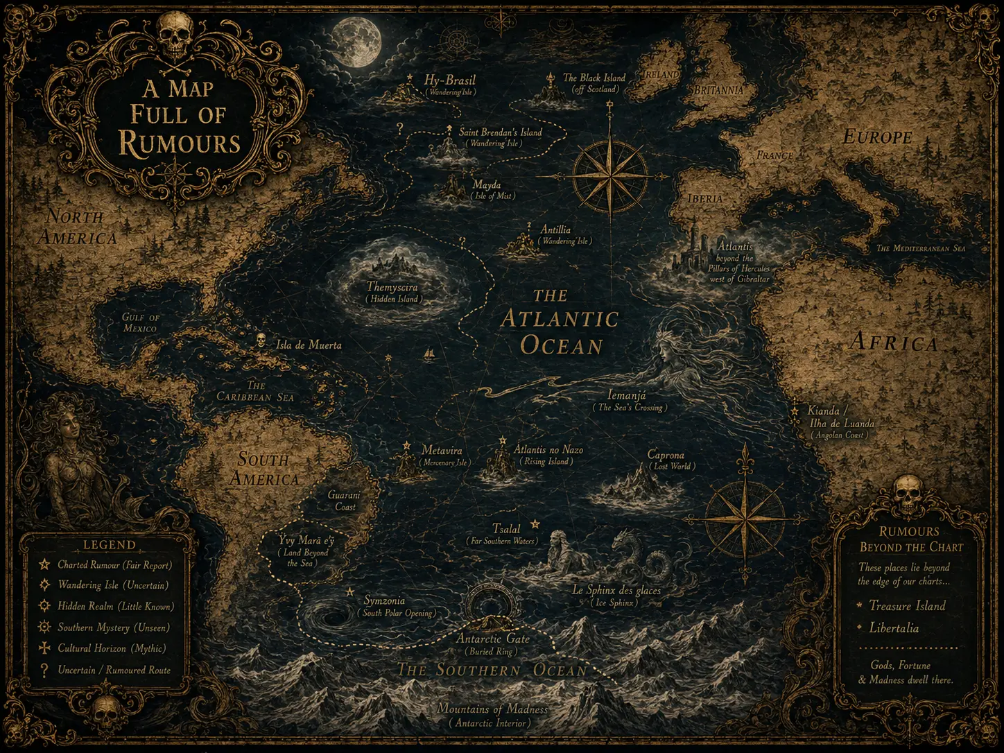
The map accompanying this article should not be read as a reconstruction of historical geography.
That would be a rather heroic claim for a chart containing Atlantis, Tsalal and an island populated by dinosaurs.
It is closer to a captain’s collection of rumours.
Some locations can be tied to documented coordinates, historical charts or specific descriptions in the original work.
Others wandered so thoroughly between maps and retellings that giving them a precise latitude would create more certainty than their creators ever enjoyed.
Those with a documented location are marked with an asterisk.
* Documented location — based on historical maps, recorded coordinates or the original work.
That does not mean the island existed.
It merely means somebody was kind enough to tell us where it was supposed to be.
For phantom geography, this is about as close to precision as one should demand.
The Atlantic’s Most Reliable Resource
Seen together, these stories reveal something peculiar about the Atlantic.
Its most renewable resource may not have been fish, whales, salt, oil or trade routes.
It may have been empty space.
Every generation found a different use for it.
Medieval travellers placed promised lands beyond the horizon.
Cartographers copied islands from earlier charts.
Explorers reported new coastlines.
Novelists discovered civilizations.
Adventure writers found dinosaurs.
Filmmakers buried aliens.
Game developers added nuclear test sites, mercenaries and entire islands without troubling any geological authority whatsoever.
And when even Antarctica became too well known to accommodate another convenient continent, fiction simply began excavating.
One has to admire the persistence.
The maps kept improving.
The stories refused to cooperate.
An Island Does Not Need Much
Perhaps that is the most useful thing these places have in common.
An imaginary island does not require a complete history.
It does not need a census.
It does not need a geological survey, a flag or even particularly stable coordinates.
It needs only enough structure for someone to arrive there and ask:
What happened here?
The rest can remain unexplained.
In fact, it often works better that way.
A fully documented mysterious island is a rather poor mysterious island.
The ocean has always understood this.
And Then There Is Rust
Rust does not need to be descended from any of these stories to belong beside them.
It already behaves like one of them.
An island appears. People arrive without knowing what happened before them. They explore what remains, fight over what is useful and build on top of whatever history the island refuses to explain.
Then the wipe comes.
The island disappears.
About ten minutes later, another one takes its place.
Different coast.
Different roads.
Different arrangement of the world.
The survivor remembers.
The island does not.
And somewhere in the middle of all this, a missile waits patiently in its silo.
For an ocean that has spent centuries gaining and losing islands according to sailors, cartographers, writers and storytellers, Rust fits in rather comfortably.
Another island.
Another map.
Another story.
Until the next wipe.
References & Further Reading
Atlantis, Antillia, Hy-Brasil, Saint Brendan and Mayda
- Plato — Timaeus and Critias — the classical source of the Atlantis story and its placement beyond the Pillars of Hercules.
MIT Classics — Timaeus
MIT Classics — Critias
Amazon — Plato: Timaeus & Critias - University of Minnesota, James Ford Bell Library — Antillia and the medieval tradition of the Island of the Seven Cities.
Bell Library — Antillia / Seven Cities - Library of Congress — Hy-Brasil: The Supernatural Island — Hy-Brasil’s repeated appearance on maps and the tradition that it became visible only periodically.
Library of Congress — Hy-Brasil - William H. Babcock — Legendary Islands of the Atlantic: A Study of Medieval Geography — extensive treatment of Atlantis, Saint Brendan, Brasil, the Seven Cities, Mayda and other legendary Atlantic geography.
Project Gutenberg — Legendary Islands of the Atlantic
Amazon — Legendary Islands of the Atlantic - John Patrick Crichton-Stuart, Marquess of Bute — Brendan’s Fabulous Voyage, an older study and retelling of the Saint Brendan tradition.
Project Gutenberg — Brendan’s Fabulous Voyage
Amazon — Saint Brendan’s Voyage
Symzonia and the Hollow Earth
- Captain Adam Seaborn — Symzonia: Voyage of Discovery (1820).
Project Gutenberg — Symzonia
Amazon — Symzonia: Voyage of Discovery
Edgar Allan Poe and Tsalal
- Edgar Allan Poe — The Narrative of Arthur Gordon Pym of Nantucket (1838).
Project Gutenberg — Arthur Gordon Pym
Amazon — The Narrative of Arthur Gordon Pym of Nantucket
Jules Verne and Le Sphinx des glaces
- Bibliothèque nationale de France — bibliographic record for Jules Verne’s Le Sphinx des glaces (1897), explicitly presented as a continuation of Poe’s Arthur Gordon Pym.
BnF — Le Sphinx des glaces
Amazon — Le Sphinx des glaces / An Antarctic Mystery
Caprona and Caspak
- Edgar Rice Burroughs — The Land That Time Forgot (1918).
Project Gutenberg — The Land That Time Forgot
Amazon — The Land That Time Forgot
H. P. Lovecraft and Antarctica
- H. P. Lovecraft — At the Mountains of Madness.
Project Gutenberg — At the Mountains of Madness
Amazon — At the Mountains of Madness
Treasure Island
- Robert Louis Stevenson — Treasure Island, the fictional geography that famously began with Stevenson’s map.
Project Gutenberg — Treasure Island
Amazon — Treasure Island
Libertalia
- The History of the Pyrates, Vol. II — the Captain Misson narrative from which the story of Libertalia developed.
Project Gutenberg — The History of the Pyrates, Vol. II
Amazon — A General History of the Pyrates
The Black Island
- Tintin official site — Hergé’s The Black Island and the history of its different editions.
Tintin.com — The Black Island
Amazon — Tintin: The Black Island
Themyscira
- DC — Wonder Woman and her hidden island homeland of Themyscira / Paradise Island.
DC — Wonder Woman
Atlantis no Nazo
- SUNSOFT — original publisher material stating that tectonic movement causes an enormous island to suddenly appear in the South Atlantic.
SUNSOFT — Atlantis no Nazo
Metavira
- GOG — Jagged Alliance and its fictional island of Metavira.
GOG — Jagged Alliance
Stargate and Antarctica
- GateWorld — Stargate SG-1, “Solitudes,” in which O’Neill and Carter discover the second Stargate beneath Antarctic ice.
GateWorld — Solitudes - GateWorld Stargate Omnipedia — the later Ancient outpost and the development of the Antarctic mythology within the series.
GateWorld — Lost City
Yvy Marã e’ỹ — The Land Without Evil
- Brazilian ICMBio — Mbyá Guarani traditions and the Terra Sem Mal, including the tradition of crossing the sea in search of the mythical land.
ICMBio — Cultura Indígena
Kianda and Luanda
- Anthropology Southern Africa — Unveiling Kianda: a multifaceted symbol in Luanda, Angola — contemporary research into Kianda, Ilha de Luanda and the changing meanings associated with the tradition.
Taylor & Francis — Unveiling Kianda - Pepetela — O Desejo de Kianda (1995), the modern literary treatment discussed in the article.
Amazon — O Desejo de Kianda
Iemanjá
- University of São Paulo — Iemanjá, a grande mãe africana do Brasil: mito, rito e representação — research on Yemọja/Iemanjá and the transformation of the tradition in the Atlantic diaspora and Brazil.
USP — Iemanjá, a grande mãe africana do Brasil
Water Between Worlds — Kongo cosmology
- The Metropolitan Museum of Art — discussion of Kongo cosmology in which water acts as the median separating the living world from the ancestral realm.
The Met — Kongo cosmology and water
Affiliate disclosure: Some of the book links above are Amazon affiliate links. If you purchase through one of them, Rust Observer may earn a small commission at no additional cost to you. As an Amazon Associate, Rust Observer earns from qualifying purchases.