Where Dafuk Am I? — The Atlantic We Found
The Atlantic did not need fiction to become strange. Floating seas, phantom islands, unexplained photographs, satellite flashes and Antarctic expeditions supplied more than enough material on their own.
The previous article looked at the real islands surrounding our position in the South Atlantic.
We arrived on them on April 26, 1983, looked around and asked a simple question:
What would actually have been there?
But islands are only part of what this ocean has to offer.
The Atlantic contains places that need remarkably little imagination to become strange.
There is a sea with no coastline, surrounded entirely by currents and covered by floating fields of vegetation.
There are islands reported by experienced sailors, placed on charts and searched for by later expeditions — only for the ocean to eventually deny having ever owned them.
There are photographs taken above a real Brazilian island that have been argued over for decades.
A satellite designed to detect nuclear explosions once saw exactly the kind of flash it had been built to detect over the southern oceans, and somehow that made the explanation less convenient rather than more.
An abandoned boat appeared on one of the most isolated islands on Earth.
Germany really did send an expedition to Antarctica.
The United States really did follow with thousands of men, ships and aircraft a few years later.
An Ottoman admiral really did draw a remarkably troublesome landmass along the southern edge of a map in 1513.
None of those things require Atlantis, aliens, secret civilizations or a particularly imaginative screenwriter.
Those came later.
And that distinction matters.
This article is not about everything people invented in the Atlantic. We will get to that.
For now, we are staying with the things that were actually observed, recorded, photographed, mapped, found or undertaken — even when what they meant was uncertain.
Sometimes the eventual explanation is perfectly ordinary.
Sometimes it is still debated.
And sometimes the facts are so inconveniently good that fiction merely has to arrive afterward and make a few improvements.
The Atlantic has always been generous that way.
Before asking what people imagined was hiding out there, it is worth looking at what they actually found.
When Real Places Acquired Better Stories
Inventing an island is useful.
Finding a real place with an unexplained story attached to it is considerably more efficient.
In each of the following cases, the geography is real.
What happened there is where things become less cooperative.
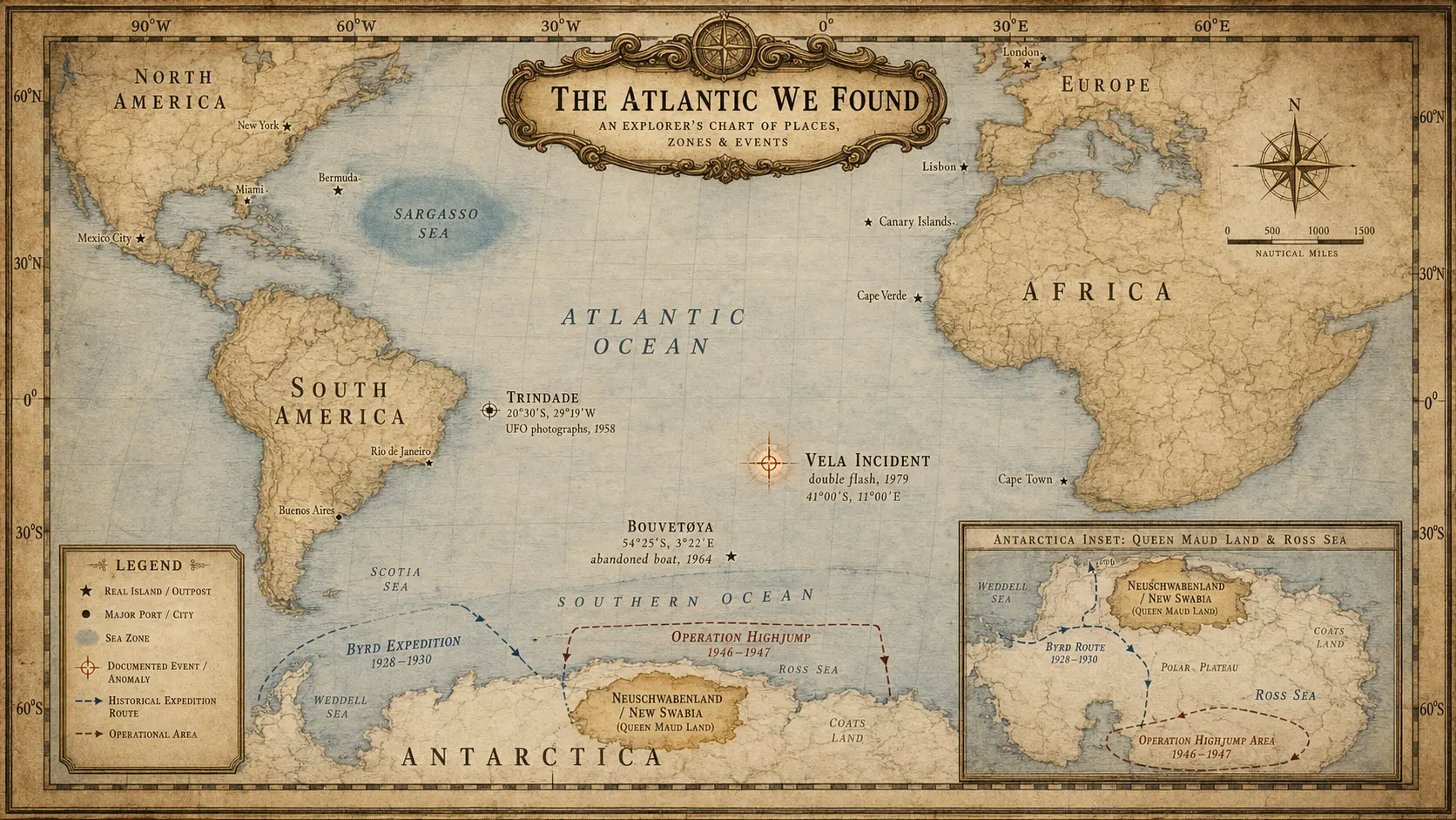
The Sargasso Sea — A Sea With No Shore
Not every strange place in the Atlantic needed an island.
The Sargasso Sea managed perfectly well without one.
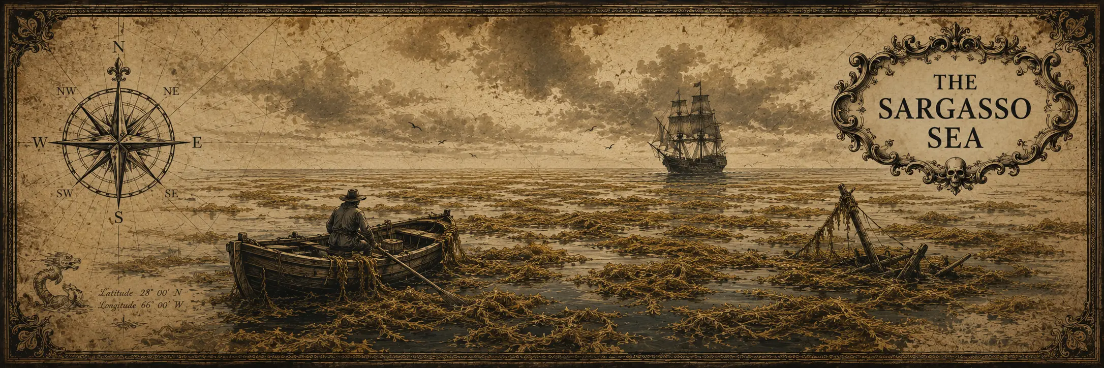
It is the only sea on Earth whose boundaries are defined entirely by ocean currents rather than by land. The Gulf Stream marks its western side, the North Atlantic Current the north, the Canary Current the east and the North Atlantic Equatorial Current the south. Those boundaries move with the ocean itself, enclosing a vast region of the North Atlantic where floating Sargassum accumulates in long lines and dense mats.
The algae are unusual in their own right. Unlike most seaweeds, the dominant Sargassum of this region can spend its entire life floating in open water, held at the surface by small gas-filled structures. The mats become drifting ecosystems, providing shelter and nursery habitat for fish, turtles, crabs and countless smaller animals.
To someone seeing it for the first time from the deck of a wooden ship, however, the ecological explanation was not immediately obvious.
Christopher Columbus recorded the floating weed during his 1492 crossing. The vegetation suggested to him that land might be nearby, while members of his crew worried that the ships could become trapped or run aground among it.
Neither concern proved particularly accurate.
The nearest shore remained a very long way away, and Sargassum is quite incapable of imprisoning an ocean-going vessel.
Still, one can understand the suspicion.
Dense mats can look surprisingly substantial from above. I once tried walking on one of the denser mats.
For a brief moment, it almost feels possible.
Then everything underneath you moves.
Imagine trying to walk across an inflatable mattress floating in a swimming pool, except the mattress is made from thousands of separate plants, none of which have agreed on where the floor should be.
Stability is not part of the arrangement.
A fifteenth-century sailor encountering kilometres of the stuff without knowing what lay beneath it could therefore be forgiven for wondering whether the Atlantic had quietly stopped behaving like an ocean.
Later stories took that discomfort and improved upon it.
The Sargasso Sea became associated with becalmed ships, abandoned vessels, floating graveyards and places from which unfortunate travellers might never return. Fiction occasionally turned its drifting vegetation into a vast trap collecting wreckage from across the Atlantic.
Reality is less theatrical.
But it hardly needed much assistance.
A sea with no coast, boundaries that move, vegetation floating hundreds of kilometres from land and a surface that occasionally looks solid enough to betray anyone foolish enough to test it was already doing most of the work.
One has to admit, geography occasionally writes the first draft itself.
Trindade — Something in the Sky
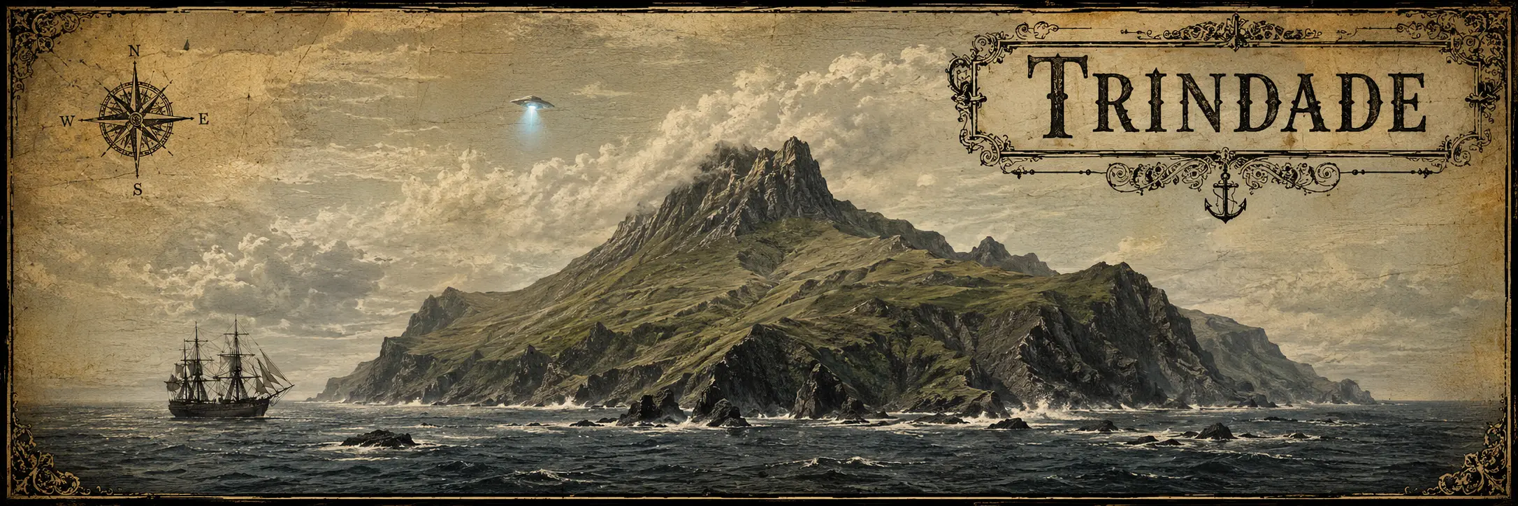
Trindade Island needs little introduction.
It is a volcanic Brazilian island in the South Atlantic, roughly 1,150 kilometres from the Brazilian coast and home to a Brazilian Navy outpost.
Then, on January 16, 1958, Trindade acquired a second career.
The Brazilian Navy vessel Almirante Saldanha was near the island when photographer Almiro Baraúna photographed what he said was an unidentified flying object.
Accounts describe several people aboard the ship observing something unusual near Trindade while Baraúna took a series of photographs.
The case did not remain confined to a newspaper clipping.
Brazilian government and military documents subsequently discussed unidentified aerial observations around Trindade, and the case continued attracting official and public attention for decades.
Whether Baraúna photographed an extraordinary aircraft, an optical effect, a manipulation or something considerably less interesting has been argued ever since.
The useful part for us is simpler.
Trindade is real.
The photographs exist.
The dispute is real.
What was photographed remains the part everyone gets to argue about.
Apparently an isolated volcanic island in the South Atlantic did not require dinosaurs or a secret civilization.
A suspicious object in the sky was sufficient.
Bouvetøya — Reality Provides the Island
Sometimes creating a fictional island is unnecessary work.
Bouvetøya is real.
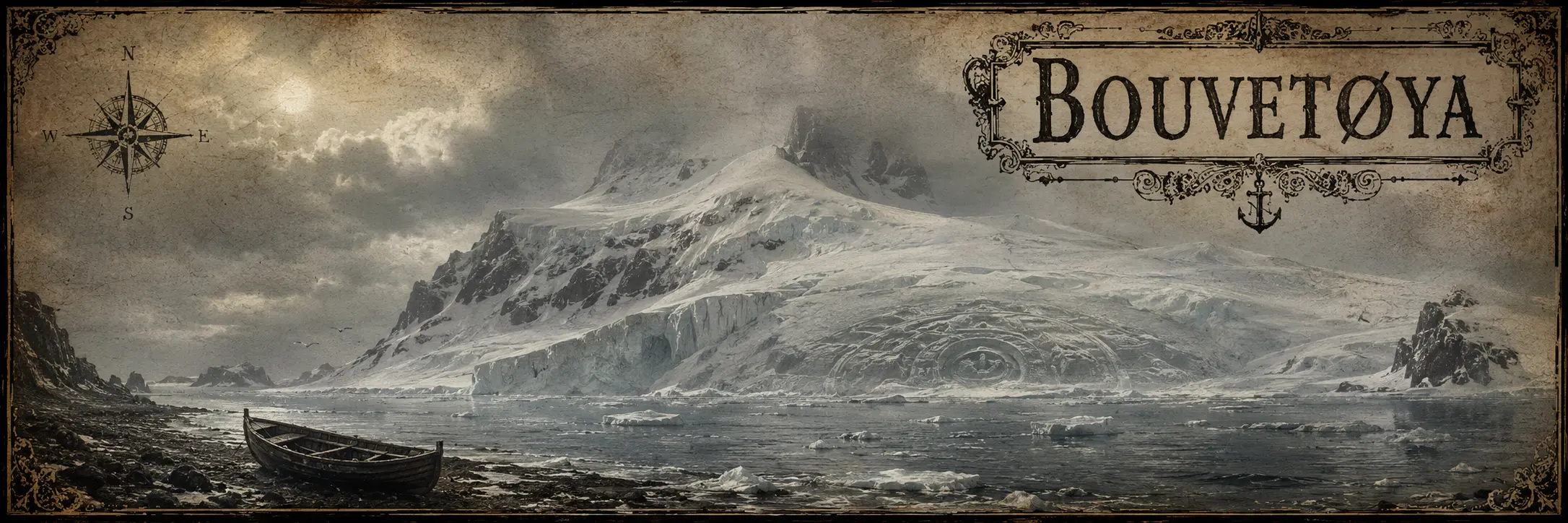
Located at approximately 54°25′ S, 3°20′ E, it is a Norwegian volcanic island, almost entirely covered by glaciers and one of the most isolated islands on Earth.
Reality had already given it a useful mystery.
In 1964, a survey party landing on the newly exposed Nyrøysa area found an abandoned small boat in a lagoon.
Nearby were oars and other equipment.
There was no crew waiting to explain themselves.
Considering where Bouvet is located, this was an excellent beginning.
Who had arrived?
Had there been a shipwreck?
Where had the occupants gone?
For years, those questions proved considerably more popular than the likely answer.
Later evidence points toward a Soviet scientific and whaling expedition in 1958. A landing party reached Bouvet, weather deteriorated and they were eventually evacuated, leaving equipment behind.
A stranded expedition is less exciting than a vanished crew.
The ocean cannot be blamed for what people do with missing paperwork.
Hollywood later decided Bouvet had not contributed enough.
In Alien vs. Predator (2004), a satellite detects an unexplained heat source beneath the island.
An expedition arrives and discovers an enormous ancient pyramid buried beneath the ice, where Predators have been conducting ritual hunts involving Xenomorphs.
So Bouvet achieved the rare distinction of having both a genuine abandoned-boat mystery and an extraterrestrial pyramid added to its résumé.
Once the geographical blanks are gone, one does not need to invent another island.
Take one of the most isolated real islands on Earth.
Start digging.
The Vela Incident — Something Exploded. Perhaps.
Then, in 1979, the South Atlantic produced an anomaly considerably harder to fit inside a lifeboat.
On September 22, 1979, an American Vela satellite detected a characteristic double flash over the southern oceans.
Vela satellites existed specifically to detect atmospheric nuclear explosions.
So when one reported something resembling a nuclear explosion, the obvious interpretation was somewhat inconvenient.
Scientists and intelligence agencies examined the possibility of a secret nuclear test, equipment malfunction and natural phenomena.
The evidence never produced a universally accepted answer.
And so the event acquired one of the finest qualifications available to a South Atlantic mystery:
Something happened.
What happened is the part that remains inconvenient.
Possibly a nuclear test.
Possibly not.
Possibly involving countries with excellent reasons not to discuss the matter.
The satellite saw its flash.
Governments wrote classified reports.
Scientists disagreed.
And the ocean, displaying commendable professionalism, declined to comment.
There is a particularly appropriate detail here.
The event occurred in 1979.
Only a few years before our Rust sky places us in the South Atlantic on April 26, 1983.
By then, the maps were excellent.
The satellites were watching.
And somehow the South Atlantic was still perfectly capable of producing an event that nobody could confidently explain.
When Antarctica Became Too Interesting to Leave Alone
By the middle of the twentieth century, Antarctica had an unfortunate problem.
It existed.
Its coastline was being photographed, expeditions were crossing it, aircraft were flying over it and governments were establishing stations.
There was considerably less room left for unknown continents and misplaced islands.
Fortunately, a well-mapped continent can still hide things.
One merely has to put them underground.
New Swabia — A Real Expedition Acquires a Basement
In December 1938, Germany sent the Schwabenland south under the command of Alfred Ritscher.
The expedition was real.
Its aircraft surveyed a large portion of Queen Maud Land from the air, taking thousands of photographs and mapping previously poorly known territory.
The Germans named the surveyed region Neuschwabenland — New Swabia.
Then the Second World War began.
No permanent German Antarctic base resulted from the expedition.
That should have been the end of the story.
It was not even close.
After the war, New Swabia gradually acquired an underground Nazi fortress, submarine facilities, secret weapons, surviving members of the Third Reich and, eventually, flying saucers.
Two German U-boats arriving in Argentina after Germany’s surrender were folded into the story.
Secret British wartime activity in Antarctica was folded into it.
Later American operations were folded into it.
The continent proved remarkably accommodating.
The actual 1939 expedition was already unusual enough.
Apparently somebody decided it needed a secret underground civilization as well.
Operation Highjump — Send in the Navy
Then came Operation Highjump.
In 1946–47, the United States Navy sent roughly 4,000 personnel and thirteen ships to Antarctica in one of the largest Antarctic expeditions undertaken to that point.
Its official objectives were considerably less theatrical: train personnel, test equipment under extreme cold conditions, gather scientific information and explore and map as much of Antarctica as practical.
Rear Admiral Richard E. Byrd was involved.
Aircraft filled the skies.
Warships arrived.
The expedition operated shortly after the largest war in human history.
For conspiracy literature, this was almost an irresponsible amount of raw material.
In later versions, Highjump ceased being an Antarctic training and mapping operation and became a military assault against hidden remnants of Nazi Germany.
Then the Nazis acquired flying saucers.
Then the flying saucers attacked the Americans.
Then Highjump supposedly retreated after catastrophic losses.
A fleet sailed into Antarctica.
That part happened.
It just neglected to fight the subterranean Nazi UFO civilization waiting for it.
History can be terribly inconsiderate.
Admiral Byrd — A Good Story Eventually Finds the Wrong Pole
Richard E. Byrd was already one of the most famous polar explorers of the twentieth century.
He did not particularly need embellishment.
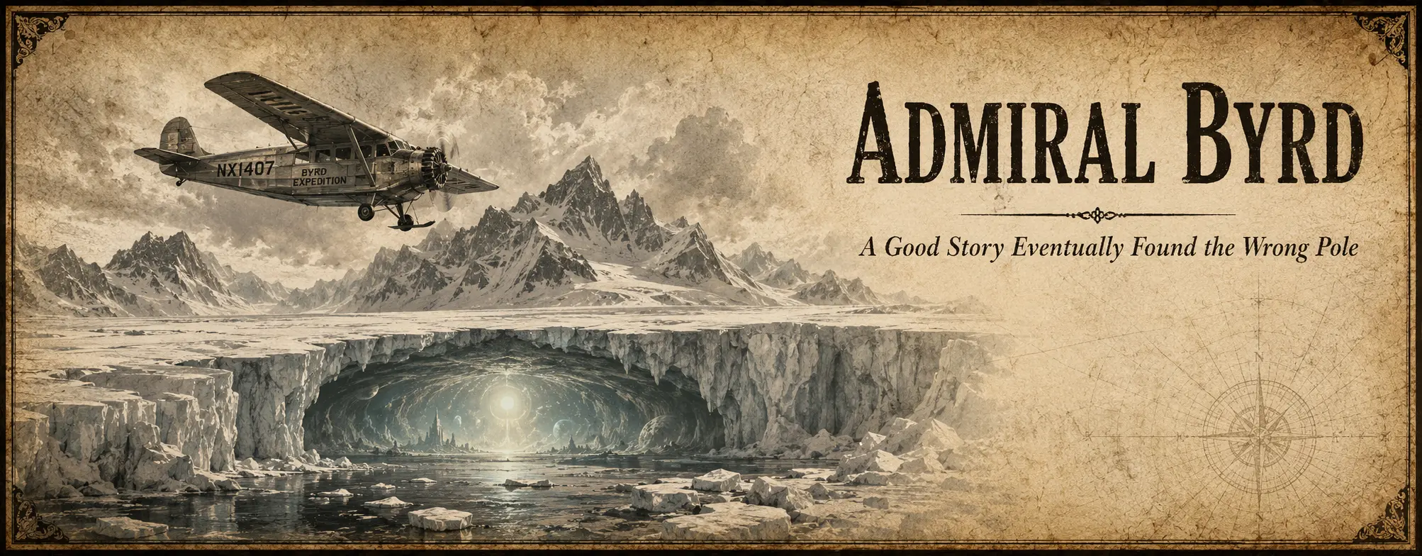
Nevertheless, an alleged secret diary eventually began circulating under his name.
Its Byrd flies into a polar opening and discovers a warm inner world populated by advanced beings with extraordinary technology.
There are flying machines.
There is an underground civilization.
There are warnings for humanity.
There is government secrecy.
It is an excellent story.
Its provenance is considerably less impressive.
Versions of the supposed diary surfaced decades later without a convincing chain leading back to Byrd’s actual records.
There is an additional irony.
Archivists really did discover a previously overlooked Byrd diary in the 1990s.
It concerned his 1926 North Pole flight.
No inner civilization appeared.
Mostly, it gave historians more material with which to argue about whether Byrd had actually reached the pole.
There are moments when history seems almost deliberately sarcastic.
When the Maps Did It First
Long before novelists began hiding lost worlds in the South Atlantic, sailors and cartographers were already adding places that would later disappear.
Navigation was imprecise, coastlines were poorly known and enormous parts of the ocean had never been surveyed. A convincing report could therefore survive for decades — sometimes centuries — especially when another ship later reported seeing something in roughly the same place.
Accuracy, after all, is considerably easier once somebody has invented GPS.
Some of those islands were probably mistakes.
Others may have been real land seen from the wrong position.
A few remain much harder to explain.
And some apparently enjoyed perfectly respectable careers on maps without ever having to exist.
Terra Australis — The Continent That Had to Be There
For centuries, European maps contained something considerably more ambitious than a missing island.
They contained an entire southern continent.
Terra Australis Incognita was not originally based on the discovery of Antarctica. It was a hypothetical landmass whose existence was partly inferred from an old geographical idea: the large amount of known land in the Northern Hemisphere should be balanced by land in the south.
A reasonable theory, provided the planet cared about symmetry.
As exploration progressed, Terra Australis proved remarkably cooperative.
Ships rounded the Cape of Good Hope, so the unknown continent moved farther south.
Explorers passed Cape Horn, so its boundaries moved again.
New voyages crossed places where parts of it had previously been drawn, and the continent politely retreated before them.
By the eighteenth century, James Cook’s voyages had crossed enough of the southern oceans to eliminate the enormous temperate continent that had occupied maps for generations.
There really was a continent in the far south.
It just had the poor manners not to be where everyone had drawn it.
The Piri Reis Map — Antarctica Before Anyone Found Antarctica
Then there is the Piri Reis map of 1513.
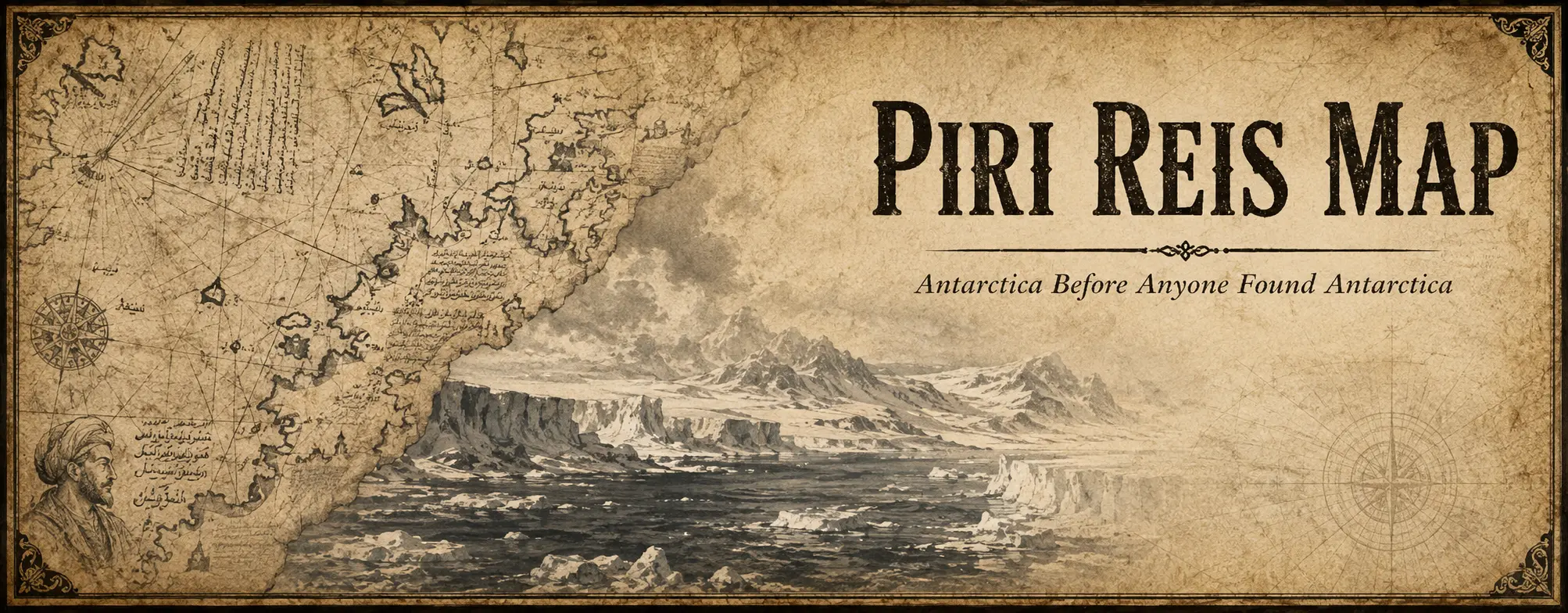
Unlike secret Nazi bases and Antarctic flying saucers, the map unquestionably exists.
The Ottoman admiral and cartographer Piri Reis compiled it from earlier geographical sources.
At its southern edge is an unusual landmass.
And that was all the invitation required.
In the twentieth century, the idea became popular that Piri Reis had somehow depicted the coast of Antarctica without its ice sheet more than three centuries before the continent was officially discovered.
If true, somebody must therefore have mapped Antarctica in an immensely remote past.
Which naturally raises the question:
who?
An unknown ancient civilization?
Survivors of Atlantis?
Keep going long enough and somebody will eventually suggest aliens.
There is a considerably less expensive explanation.
The map belongs to an era in which hypothetical southern lands were perfectly respectable additions to world geography, and specialists do not generally accept the interpretation that it contains an accurate prehistoric survey of ice-free Antarctica.
The map is real.
The interpretation is real.
The ancient Antarctic survey fleet is optional.
The ancient Antarctic survey fleet is optional.
Still, one must admire the efficiency.
A sixteenth-century cartographer drew one difficult coastline and four centuries later acquired an entire lost civilization.
Saxemberg — An Island on Rust’s Meridian
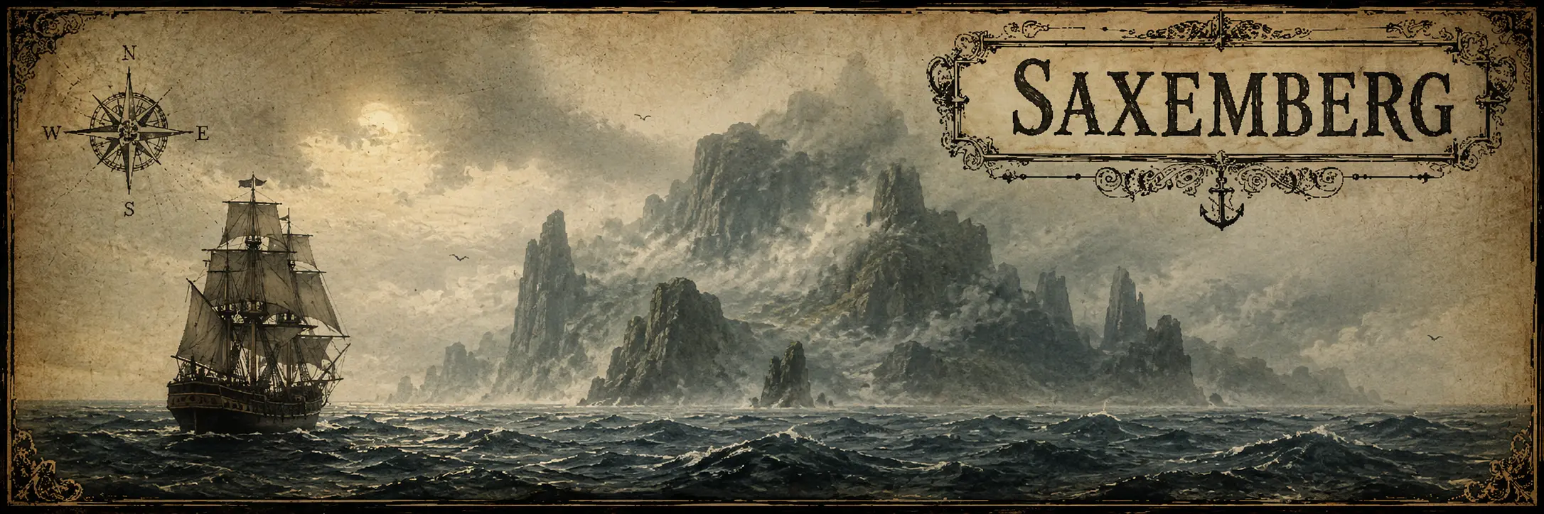
In 1670, Dutch sailor John Lindestz reported an island in the South Atlantic at approximately:
30°45′ S, 19°40′ W
That longitude should look familiar.
Rust’s skydome placed our island at approximately 20°38′ W.
Saxemberg was much farther south, but almost directly below it.
The island did not immediately vanish after the original report. It appeared on later charts and was reportedly sighted again by other vessels.
Unfortunately, repeated searches eventually revealed one rather inconvenient geographical detail:
there was no island there.
Saxemberg became one of the classic phantom islands of the South Atlantic — sufficiently convincing to be mapped, sufficiently respectable to be searched for, and sufficiently nonexistent to eventually be removed again.
For an imaginary island somewhere around 20° W, Facepunch would hardly have been the first to put one there.
Pepys Island — Found Once, Then Somewhere Else
In December 1683, English navigator William Ambrose Cowley reported discovering an uncharted island at about 47° S while crossing the South Atlantic.
He named it Pepys Island after Samuel Pepys, Secretary to the Admiralty.
The island subsequently appeared on maps and remained part of Atlantic geography for years.
There was only one problem.
Later navigators could not find it.
The most likely explanation is considerably less adventurous: Cowley had probably seen the Falkland Islands and recorded their position incorrectly.
The most likely Pepys Island therefore already had another name…
It simply had another name, another position and an unfortunate misunderstanding with the cartographer.
For a phantom island, that is almost respectable.
The Aurora Islands — Seen Again and Again
The Aurora Islands are considerably less obliging.
In 1762, the Spanish merchant ship Aurora, sailing from Lima to Cádiz, reported three islands in the South Atlantic.
They were reported again.
And again.
The Spanish ship San Miguel placed them at approximately:
52°37′ S, 47°49′ W
In 1794, the Spanish corvette Atrevida was deliberately sent to examine the reported islands during the Malaspina expedition and recorded them once more.
By this point, one can hardly blame the cartographers for believing them.
The Aurora Islands continued appearing on maps into the nineteenth century.
Then they stopped appearing in the ocean.
The last reported sighting came in 1856, and by the 1870s the islands were finally disappearing from charts.
Whether the observers repeatedly misidentified another group of rocks, encountered an atmospheric effect or simply inherited a particularly stubborn navigational error remains uncertain.
Whatever happened, three islands managed to maintain a documented geographical career for more than a century without the tiresome obligation of remaining where everyone said they were.
New South Greenland — A Coast With No Continent
By the nineteenth century, the unexplored space had moved still farther south.
In 1823, American sealing captain Benjamin Morrell reported travelling along a previously unknown coast in the Weddell Sea.
He called it New South Greenland.
This was not merely somebody squinting at a suspicious cloud on the horizon.
Morrell described travelling alongside the supposed coast for a considerable distance.
Later expeditions found no such land.
Misplacing an island is unfortunate.
Misplacing a coastline is considerably more ambitious.
New South Greenland became another example of a recurring feature of southern exploration: the farther ships travelled into poorly mapped waters, the easier it remained for an island, coastline or entire territory to enter geography briefly before better surveys asked it to leave.
The blank spaces were getting smaller.
Imagination, however, had no intention of surrendering them.
What the Atlantic Gave Us
None of these stories began in quite the same way.
Some started with vegetation floating where no land should be.
Some with photographs.
Some with a flash detected by a satellite.
Some with an abandoned boat.
Others began with ships, aircraft, expeditions, old charts or coastlines drawn where later explorers found nothing at all.
The important part is that something came first.
A place.
An observation.
A report.
A map.
A photograph.
An expedition.
Something real enough to be recorded, argued over, searched for or remembered.
Sometimes the explanation eventually arrived.
Sometimes it did not.
And sometimes the explanation mattered considerably less than the story that had already begun growing around it.
That is the Atlantic we found.
Not an empty ocean waiting for somebody to invent mysteries, but an ocean already full of strange geography, uncertain observations, disappearing lands and inconvenient facts.
It had given sailors phantom islands before novelists needed them.
It had given explorers Antarctica before conspiracy theories moved underground.
It had given us drifting seas, remote rocks, unexplained signals and enough empty water between them to make almost any question seem reasonable for at least a little while.
Which creates a different problem.
Once people had finished finding strange things in the Atlantic, they began adding their own.
And they were considerably less restrained.
That is where the next map begins.
References & Further Reading
The Sargasso Sea
- NOAA Ocean Service — What is the Sargasso Sea? — geography, currents and the unusual absence of any land boundary.
NOAA — What is the Sargasso Sea? - NOAA Ocean Exploration — The Importance of Exploring the Sargasso Sea — floating Sargassum rafts and their ecosystem.
NOAA Ocean Exploration — The Sargasso Sea - Sargasso Sea Commission — overview of the region, its floating ecosystem and oceanographic boundaries.
Sargasso Sea Commission — About the Sargasso Sea - Smithsonian Magazine — The Sargasso Sea — historical discussion of Columbus, floating vegetation and early fears that ships could become trapped.
Smithsonian — The Sargasso Sea
Trindade and the 1958 photographs
- Brazilian Chamber of Deputies — congressional record containing material related to the Trindade photographs and subsequent official inquiries.
Câmara dos Deputados — Trindade documents
The Vela Incident
- National Security Archive — The Vela Incident: South Atlantic Mystery Flash in September 1979 Raised Questions about Nuclear Test — declassified material documenting the competing interpretations of the September 22 event.
National Security Archive — The Vela Incident
Bouvetøya
- Norwegian Polar Institute — geography, history and present status of one of the world’s most isolated islands.
Norwegian Polar Institute — Bouvetøya
Terra Australis and phantom geography
- Princeton University Library — historical cartography of Terra Australis and the gradual retreat of the hypothetical southern continent as exploration progressed.
Princeton Historic Maps — Terra Australis - Katherine Parker / Cambridge University Press — Pepys Island as a Pacific stepping stone: the struggle to capture islands on early modern maps — an excellent study of how a phantom island could persist through repeated cartographic copying.
Cambridge — Pepys Island - The Falklands Project — Cowley’s Pepys Island, the later searches for it and its probable relationship with the Falkland Islands.
The Falklands Project — Phantom Islands - CONICET — research concerning the Aurora Islands and the Atrevida expedition.
CONICET — Continentes flotantes: Islas Aurora - Benjamin Morrell / Cambridge University Press — A Narrative of Four Voyages, the primary published source behind New South Greenland / Morrell’s Land.
Cambridge — A Narrative of Four Voyages
Amazon — A Narrative of Four Voyages - Henry Stommel — Lost Islands: The Story of Islands That Have Vanished from Nautical Charts — useful broader study covering phantom islands, false sightings and their eventual removal from charts, including several cases relevant to this article.
Google Books — Lost Islands
Amazon — Lost Islands by Henry Stommel
New Swabia and Operation Highjump
- Colin Summerhayes & Peter Beeching / Cambridge University Press — Hitler’s Antarctic Base: The Myth and the Reality — separates the documented 1938–39 German expedition from the mythology that later accumulated around it.
Cambridge — Hitler’s Antarctic Base: The Myth and the Reality - U.S. Naval History and Heritage Command — documentation of Operation Highjump as a large postwar Antarctic expedition devoted to cold-weather operations, training, mapping and scientific work.
U.S. Naval History — Operation Highjump / Theodore Vogeley
The Piri Reis Map
- UNESCO Memory of the World — the surviving world map produced by Ottoman admiral Piri Reis in 1513.
UNESCO — The Piri Reis World Map (1513) - Gregory C. McIntosh — The Piri Reis Map of 1513, for a book-length examination of the map and its sources.
Amazon — The Piri Reis Map of 1513
Admiral Richard Byrd
- Ohio State University — Byrd Diary Found in Archives — the genuine diary discovered in the Byrd Polar Research Center archives, useful for distinguishing Byrd’s documented records from the much later alleged “secret diary.”
Ohio State University — Byrd Diary Found in Archives
Affiliate disclosure: Some of the book links above are Amazon affiliate links. If you purchase through one of them, Rust Observer may earn a small commission at no additional cost to you. As an Amazon Associate, Rust Observer earns from qualifying purchases.