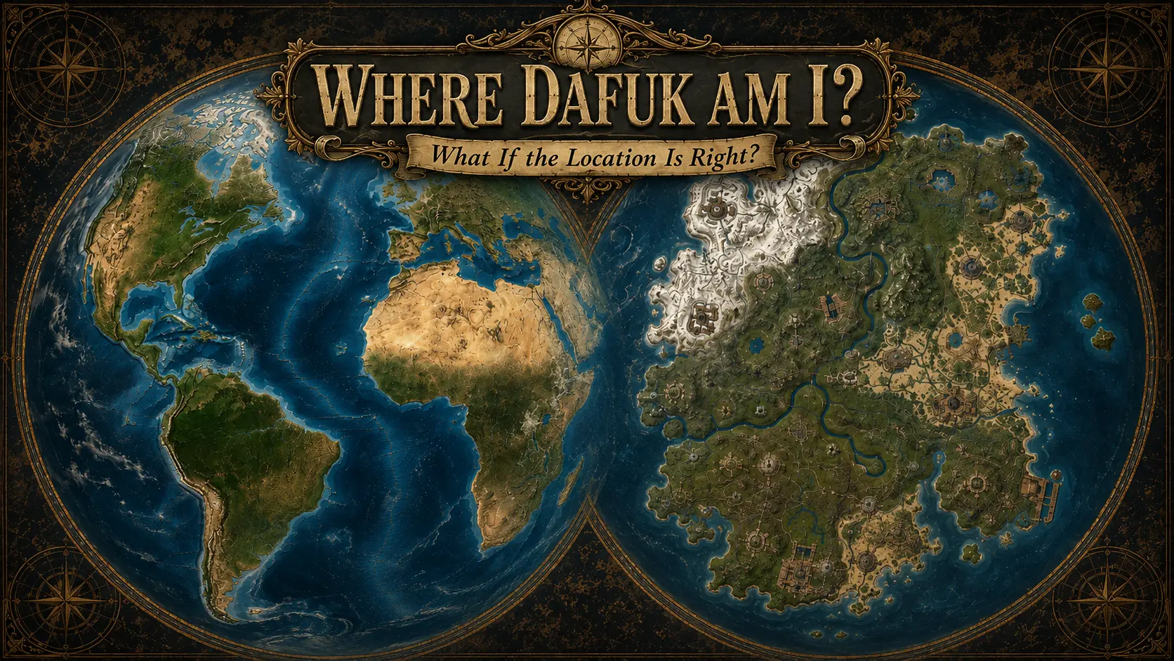
Where Dafuk Am I? #2 — What If the Location Is Right?
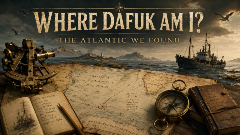
Rust’s skydome points toward an empty location in the South Atlantic. This time, we explore the real islands, legendary lands and strange waters surrounding it.
What If the Location Is Right?
The previous investigation did not find an island.
It found a sky.
The stars, the Moon and the position of the Sun placed Rust at approximately:
10°02′ S, 20°38′ W
No island appears at those coordinates on a modern map. The point falls in the open South Atlantic, thousands of kilometres from the nearest continental coast.
But a blank point on a map is not the same thing as an empty world.
If the position produced by Rust’s sky is right, the next question is not what fictional island we could place there.
It is much simpler:
What is actually there?
Rust’s calendar gives us a useful reference point. The game begins on 26 April 1983, so the descriptions below begin with the territory as it existed around that period. Modern photographs can show us what these places look like, but the first question remains what was already there in 1983.
Only after that do we look at what changed.
And there is quite a lot to look at.
The surrounding Atlantic contains independent island nations, British territories, Brazilian military outposts, communities reachable only by ship, nearly uninhabitable rocks, volcanic peaks, scientific sites and enormous areas of deep ocean.
Some have changed dramatically since 1983.
Others remain surprisingly similar.
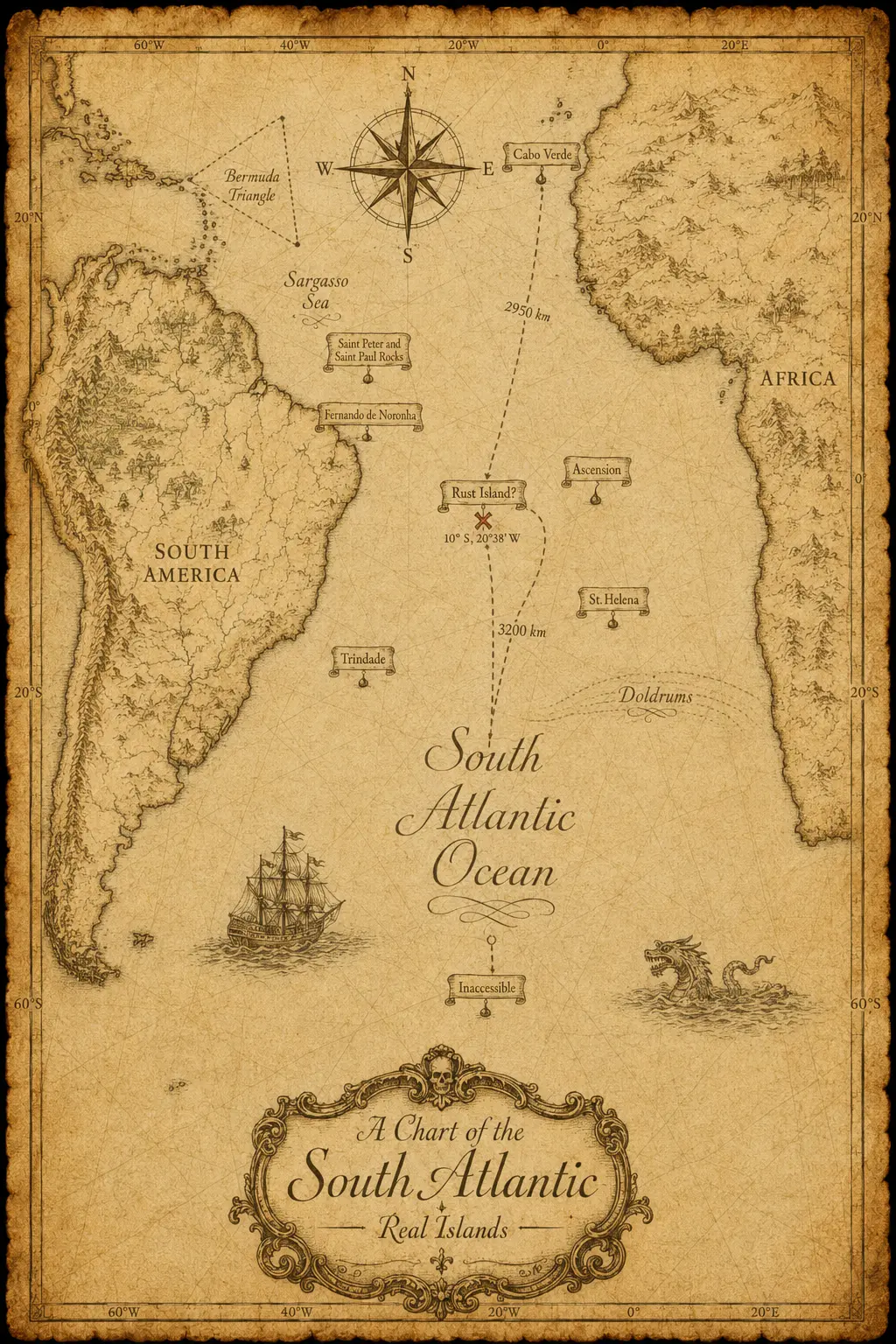
The Atlantic That Is Actually There
The islands on this map were selected for a very simple reason:
there is not much land around Rust’s hypothetical position.
They are some of the relatively few real territories breaking the surface across this enormous part of the Atlantic.
They are also remarkably different from one another.
One supports hundreds of thousands of people. Another supports only a few hundred. Some contain international airports and dense road networks; others have no airport at all. Some can be visited normally. Others are controlled by military authorities, conservation programmes or scientific organisations. In a few cases, geography itself controls access more effectively than any border checkpoint could.
Together, they show what real islands can become when a small amount of land is separated from everything else by a very large amount of ocean.
Imagine, for a moment, that Facepunch had never created Rust Island.
Instead, they simply picked a real island somewhere in the South Atlantic.
At random.
It is April 26, 1983, around 9:00 in the morning.
You wake up on a sandy beach.
You do not know where you are. You do not know what happened here before you arrived. There is no history book, no briefing and no helpful sign explaining the island.
You simply stand up, look around, and begin to figure out what kind of place you have landed on.
So let us do exactly that.
Let us arrive on each of the real islands surrounding our location as if it were Rust Island, and ask a very simple question:
What would we have found there on the morning of April 26, 1983?
Barbados
In 1983, Barbados is already a fully developed independent Caribbean state occupying only 430 km² but supporting roughly a quarter-million people. Bridgetown is its major port, almost all of its 1,500-kilometre road network is paved, and its airport has a permanent runway long enough for major international aircraft. Tourism, sugar production, manufacturing and services already make it a highly active island economy.
Its communications infrastructure is equally developed. The early-1980s network includes more than 66,000 telephones, radio and television broadcasting, regional microwave links and an Atlantic Ocean satellite station. Barbados also maintains its own Defence Force and police service. This is not an isolated population trying to maintain occasional contact with the outside world; by 1983 it is already deeply integrated into regional and international networks.
That helps explain why the word Barbados already creates an image in the mind of people who have never visited it. White beaches, coastal towns, hotels, fishing boats, sugarcane and Caribbean life had been exported internationally through tourism and popular culture for decades. The island itself is real, but the mental picture attached to its name has become much larger than its 430 km².
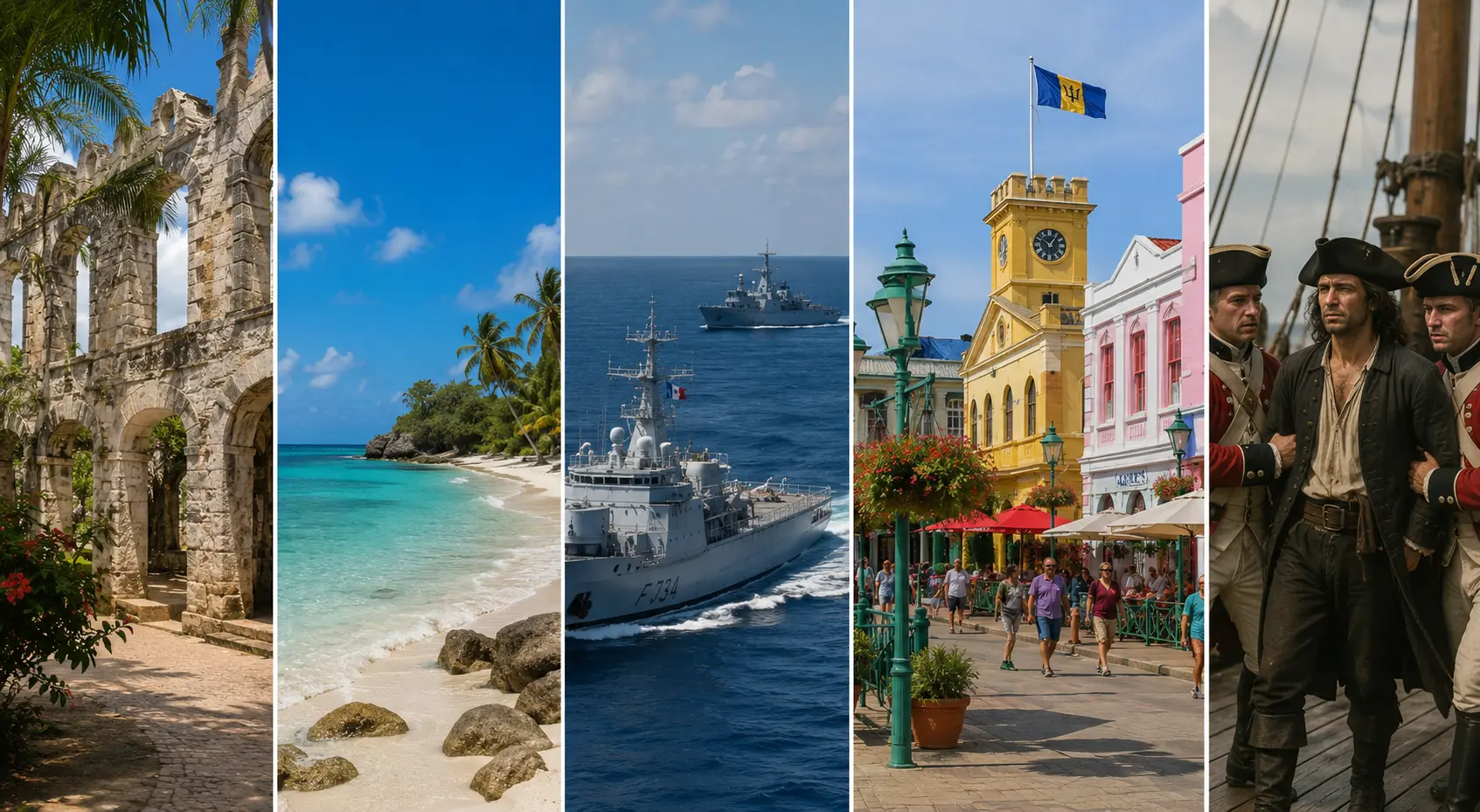
Today, Barbados remains one of the most developed and internationally connected islands in the Caribbean. Aviation, telecommunications and tourism have expanded considerably, but the basic situation visible in 1983 remains recognizable: a very small oceanic territory capable of supporting dense settlement and sophisticated infrastructure without ceasing to look unmistakably like an island.
- Government of Barbados — https://www.gov.bb/
- Ministry of Tourism and International Transport — https://tourism.gov.bb/
- Wikipedia — https://en.wikipedia.org/wiki/Barbados
Cabo Verde
In 1983, Cabo Verde is a young independent republic consisting of ten volcanic islands and several smaller islets, spread across almost 1,000 kilometres of coastline west of Africa. Around 300,000 people live in the archipelago, with much of the population still dependent on subsistence agriculture.
Water is one of its defining constraints. Some islands are mountainous enough to capture moisture while others are extremely dry, producing landscapes ranging from cultivated valleys to terrain that can appear almost desert-like. The differences can be striking even between neighbouring islands.
The geological reminder is impossible to miss on Fogo, where an enormous volcanic cone rises to more than 2,800 metres. Cabo Verde therefore combines beaches, towns, barren ground, steep mountains and inhabited volcanic landscapes inside one relatively compact archipelago.
By 1983, the islands are nevertheless well connected to the Atlantic around them. Ports such as Praia and Mindelo support maritime activity, while aviation connects islands that would otherwise remain separated by significant stretches of ocean. Cabo Verde’s location between West Africa and the wider Atlantic gives those connections an importance that cannot be measured simply by the size of its population.
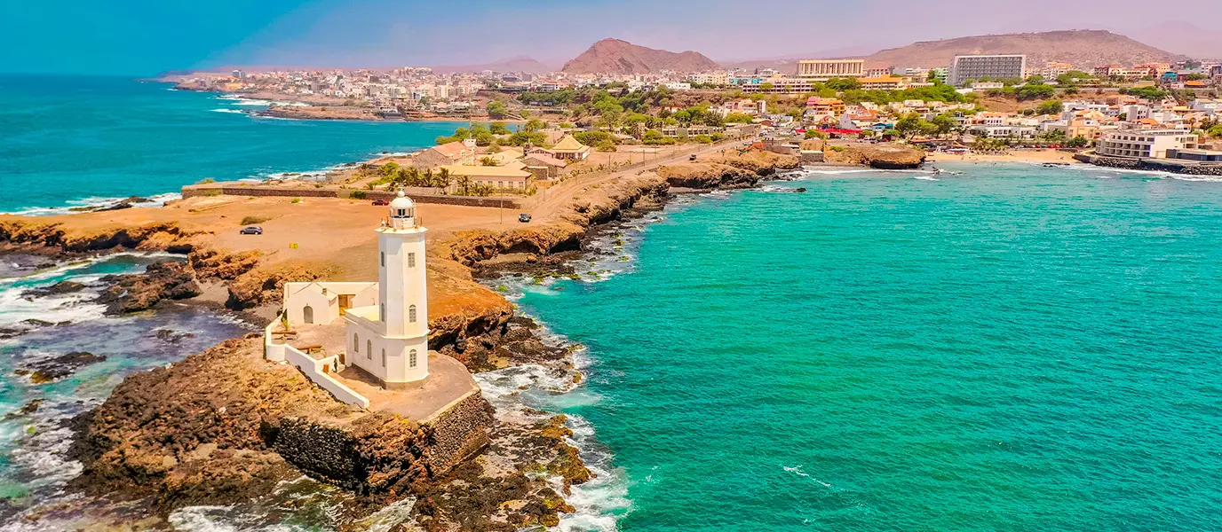
Today, international aviation and tourism have grown enormously, particularly on Sal and Boa Vista, while the underlying constraints remain. Drought, limited freshwater and volcanic activity have not disappeared. Modern infrastructure has made Cabo Verde easier to reach without making its geography any less real.
- Government of Cabo Verde — https://www.gov.cv/en/
- Wikipedia — https://en.wikipedia.org/wiki/Cape_Verde
São Tomé and Príncipe
In 1983, São Tomé and Príncipe is another young independent island country, but its landscape is almost the opposite of dry Cabo Verde. About 85,000 people occupy 964 km² of steep tropical volcanic terrain in the Gulf of Guinea. Most of the population depends on agriculture and fishing, while plantation agriculture dominates much of the accessible land. Cocoa alone accounts for roughly 90% of export value.
The islands rise sharply from the ocean. São Tomé reaches more than 2,000 metres, and densely forested volcanic mountains occupy much of the interior. Settlement, roads and plantations concentrate on the more usable coastal and lower-elevation areas.
Its communications infrastructure in the early 1980s contains an interesting imbalance. The entire country has only about 900 telephones, one AM and one FM radio station and no television network.
Yet it already has an Atlantic Ocean satellite ground station.
It also has three usable airfields, two with permanent-surface runways. A small island country with a very limited terrestrial communications network can still possess direct long-range technological connections because isolation creates different priorities.
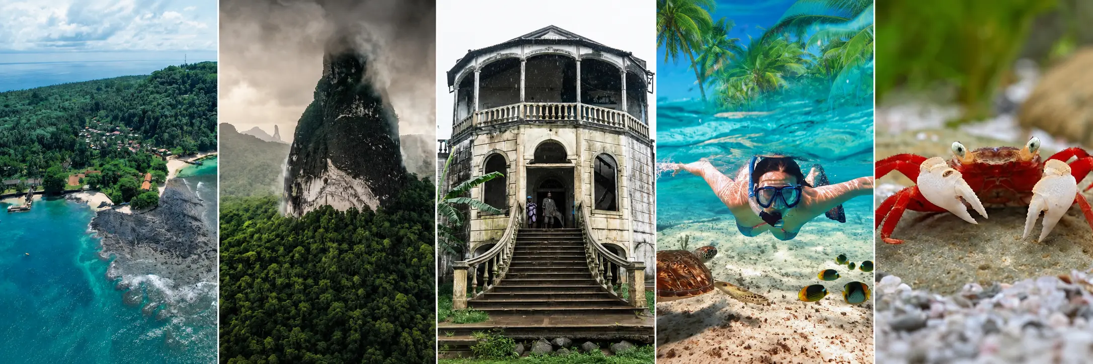
Today, São Tomé and Príncipe has much better communications and transportation, while large areas of its mountainous interior have become increasingly important for conservation and scientific research. The basic contrast remains visible: a populated tropical country whose human activity occupies only part of an exceptionally steep volcanic landscape.
That isolation has also made the islands an unusually concentrated centre of evolution. São Tomé and Príncipe has been described as having more endemic species per square mile than the Galápagos, after roughly 30 million years of isolated evolution. Obô National Park alone contains hundreds of plant species, while several groups of birds, reptiles, amphibians and invertebrates occur nowhere else on Earth.
- Governo de São Tomé e Príncipe — https://stp.gov.st/
- Wikipedia — https://en.wikipedia.org/wiki/S%C3%A3o_Tom%C3%A9_and_Pr%C3%ADncipe
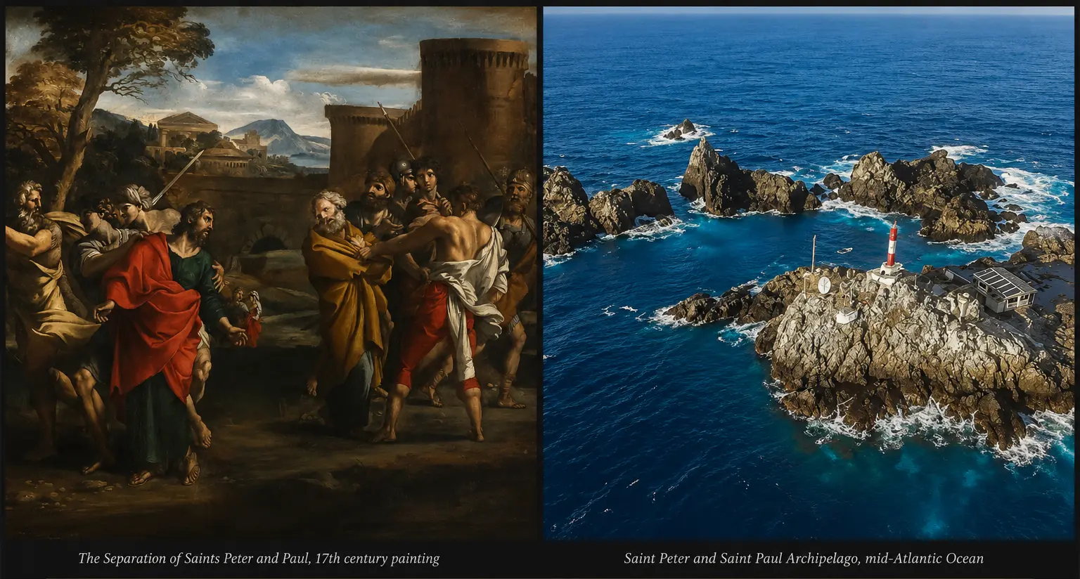
Saint Peter and Saint Paul
In 1983, Saint Peter and Saint Paul is barely land at all.
The Brazilian archipelago consists of a handful of tiny rocks roughly 1,100 kilometres from the Brazilian coast. Only about 17,000 m² rise above the ocean. There are no conventional beaches, almost no vegetation, no natural freshwater supply and no permanent population.
The surrounding sea and the ground beneath it are anything but quiet. Earthquakes occur regularly, powerful waves strike the exposed rocks and the entire formation rises from an ocean floor around 4,000 metres below the surface.
Even the rocks themselves are unusual. Saint Peter and Saint Paul is not simply another volcanic island built from successive lava eruptions. The archipelago is associated with the Mid-Atlantic Ridge and Saint Paul fracture system, where geological processes have exposed material originating deep within oceanic lithosphere. Very few places allow anything comparable to appear above sea level.
In 1983, there is no scientific station. Researchers and fishermen can reach the area, but remaining there requires bringing almost everything necessary for survival. Even constructing a secure building on such a small, irregular and wave-exposed surface presents an engineering problem.
Yet the location, marine biodiversity and extraordinary geology make the rocks valuable as a natural laboratory even before humans can maintain a continuous presence there.
At the opposite end of the scale lie the Falkland Islands. They are not bare rocks but a large inhabited archipelago, with farms, settlements, roads, airfields and an established civilian population. Yet in 1982, less than a year before our date, they became the centre of a war between Argentina and the United Kingdom. Together, Saint Peter and Saint Paul and the Falklands show just how wide the range of Atlantic islands can be: from a few exposed rocks incapable of supporting permanent life to an inhabited territory important enough to become the focus of an international conflict.
Since 1983, the situation at Saint Peter and Saint Paul has changed radically.
Brazil opened a permanent scientific station in 1998. Since then, thousands of researchers have worked in fields including geology, oceanography, meteorology, biodiversity, climatology, biotechnology and seismology. Continuous occupation also strengthens Brazil’s presence and maritime rights around an otherwise microscopic amount of land. A third-generation station is now being constructed to replace the existing facility and continue year-round research.
A place that was essentially a few hostile rocks in 1983 now supports permanent scientific occupation.
- Brazilian Navy — PROARQUIPÉLAGO — https://www.marinha.mil.br/secirm/psrm/proarquipelago
- Wikipedia — https://en.wikipedia.org/wiki/Saint_Peter_and_Saint_Paul_Archipelago
- Wikipedia — 17th century painting https://en.wikipedia.org/wiki/Separation_of_Saints_Peter_and_Paul
- Falklands Conflict — Imperial War Museums
Fernando de Noronha
In 1983, Fernando de Noronha is not yet primarily the heavily protected destination familiar today.
It is a small inhabited Brazilian archipelago with a substantial airfield and, at the time, the status of a Federal Territory. The island’s administration and infrastructure reflect a strong federal and military presence rather than the tourism-and-conservation identity that would become dominant later.
A long runway crosses the main island, allowing aircraft far larger than its small population might suggest. Fernando de Noronha had also participated in long-range tracking systems associated with missile and aerospace operations across the Atlantic. Aviation and communications therefore occupy a surprisingly important place on a small volcanic island hundreds of kilometres from mainland Brazil.
The land above water is only the visible summit of a much larger geological structure. Fernando de Noronha consists of volcanic peaks from a submerged mountain chain rising from depths of around 4,000 metres. Its surrounding waters are unusually productive and support sharks, turtles, tuna, marine mammals and the largest concentration of tropical seabirds in the western Atlantic.
In 1983, much of the modern environmental regulatory framework does not yet exist. What is already there is an inhabited oceanic territory with an oversized aviation role, federal administration and an exceptional marine environment.
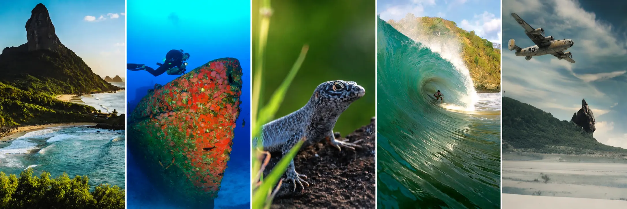
Since 1983, the emphasis has shifted dramatically toward environmental protection. Fernando de Noronha became part of Pernambuco, large terrestrial and marine areas were protected, and UNESCO added the Brazilian Atlantic Islands property to the World Heritage List in 2001. Today, access to sensitive areas, visitor numbers and activities are much more tightly managed than they were in 1983.
The island became easier to reach while becoming more controlled after arrival.
- Official Administration of Fernando de Noronha — https://www.noronha.pe.gov.br/
- About Noronha — https://www.noronha.pe.gov.br/turismo/sobre-noronha/
- Wikipedia — https://en.wikipedia.org/wiki/Fernando_de_Noronha
Ascension Island
In 1983, Ascension is an 88 km² British territory in the middle of the South Atlantic. Much of it is barren volcanic terrain: exposed lava, ash, caves, dry slopes and large areas supporting little vegetation. Around the beginning of the decade, the island has roughly a thousand inhabitants — but it is not a normal civilian society. People are there largely because organisations need personnel there. A 1981 British parliamentary estimate placed the population at about 1,150.
The amount of technical infrastructure on those 88 km² is remarkable. Wideawake Airfield occupies part of the island, British and American military personnel are present, and Ascension supports major communications and long-range tracking systems. The United States had re-established a presence in 1957 as part of the USAF Eastern Test Range, while a NASA tracking station built in 1967 supported the Apollo programme.
Then there is Green Mountain.
The 859-metre summit looks almost absurd beside the barren volcanic terrain below. Charles Darwin had already remarked on Ascension’s extreme lack of vegetation when he visited in 1836, and his close colleague Joseph Hooker later promoted the introduction of trees and other plants to improve water capture and usable land.
By 1983, more than a century of introductions has produced a humid, densely vegetated environment that did not previously exist in that form. Ascension Island Government now describes Green Mountain as the result of a major experiment in ecological terraforming. Introduced vegetation altered soil formation, moisture capture and competition between species, eventually producing an artificial cloud-forest ecosystem — along with invasive-species problems that still require active management.
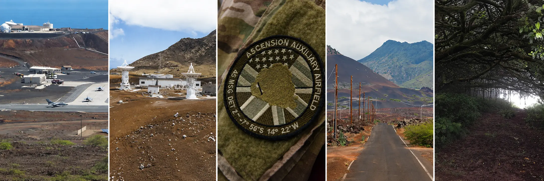
Today, Ascension remains a working island rather than a conventional place of permanent settlement. Roughly 800 people live there, mainly employees of the organisations operating on the island and their dependants. There is no general right of abode: when a person’s final employment contract ends, they normally leave. Two military bases, Wideawake Airfield and major communications infrastructure remain, while Green Mountain has been a National Park since 2005.
The technology changed.
The unusual character of the island did not.
- Ascension Island Government — https://www.ascension.gov.ac/
- Wikipedia — https://en.wikipedia.org/wiki/Ascension_Island
Saint Helena
In 1983, Saint Helena supports a complete permanent society of roughly 5,000 people. The 1976 census counted 5,147 residents and the 1987 census around 5,500, placing our date between two remarkably stable snapshots of the island’s population. Jamestown, villages, roads, farms, schools and public services all exist within only 122 km².
There is, however, no airport.
Every resident, visitor, vehicle, machine and substantial shipment must cross the ocean by ship. Saint Helena lies almost 2,000 kilometres from Africa, and its isolation in 1983 requires no restriction or exclusion zone: geography does the work.
The island itself is an eroded volcanic landscape of steep coastal cliffs, deeply cut valleys and high interior ground. Elevation and the South-East Trade Winds create strong local variations, allowing dry coastal terrain, inhabited valleys, pasture and much cooler, wetter uplands to exist within a surprisingly small area.
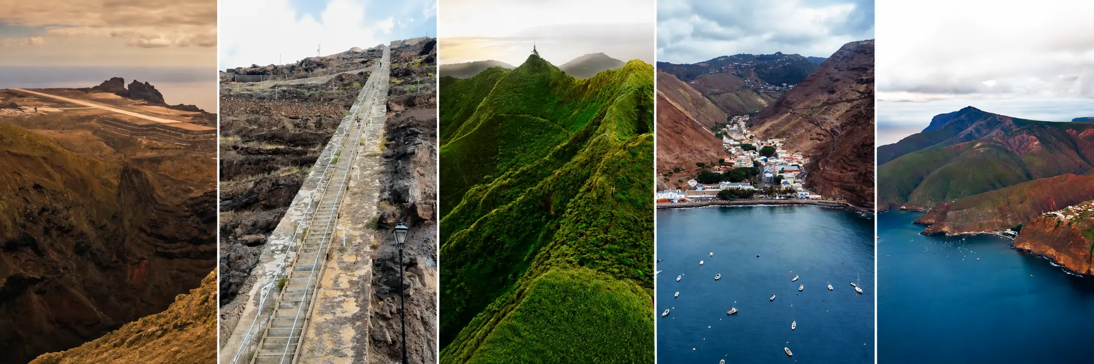
Today, the major transformation is access. Saint Helena Airport became operational in 2016 and scheduled commercial flights began on 14 October 2017. A trip from southern Africa that previously required about five days by sea can now be completed in hours. Even that solution has had to adapt to the island: turbulence and windshear created by the volcanic terrain require special aviation procedures.
Technology shortened the distance.
It did not move the island.
- Saint Helena Government — https://www.sainthelena.gov.sh/
- Wikipedia — https://en.wikipedia.org/wiki/Saint_Helena
Trindade and Martim Vaz
In 1983, Trindade and Martim Vaz form Brazil’s easternmost territory, more than 1,100 kilometres from Espírito Santo. Trindade covers only about 10 km²; the much smaller Martim Vaz rocks lie another 48 kilometres farther east. They are the visible tips of volcanic structures associated with the long Vitória–Trindade ridge beneath the Atlantic.
There is no conventional civilian settlement.
The Brazilian Navy has maintained a continuous presence on Trindade since 1957, when the Posto Oceanográfico da Ilha da Trindade — POIT — was established. Scientific activity began alongside that occupation and remained dependent on naval logistics because of the island’s distance from the continent.
The naval outpost gives this tiny territory several functions at once. It maintains Brazilian occupation, supports meteorological and oceanographic observations, assists authorised scientific work and provides a strategic naval presence far into the South Atlantic. Trindade also possesses permanent freshwater, an unusually important advantage for such an isolated oceanic island.
Its landscape is steep, volcanic and erosion-prone. Human introductions had already damaged large areas of vegetation before 1983, while Martim Vaz remains even harsher: smaller, rockier, uninhabited and considerably less capable of supporting long-term occupation.
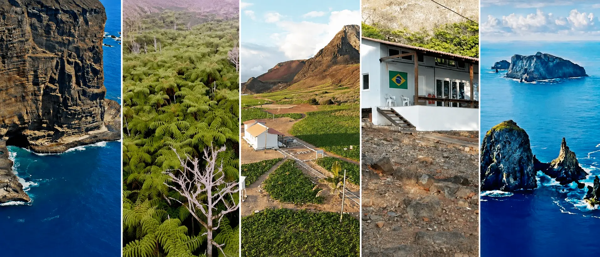
Today, the scientific role has expanded while access remains highly restricted. PROTRINDADE coordinates approved research, a dedicated scientific station supports researchers and the Brazilian Navy continues to maintain the permanent occupation. The Navy explicitly states that visits are principally available to researchers attached to approved scientific projects.
- Brazilian Navy — PROTRINDADE — https://www.marinha.mil.br/secirm/psrm/protrindade
- Wikipedia — https://en.wikipedia.org/wiki/Trindade_and_Martim_Vaz
Tristan da Cunha
Around 1983, Tristan da Cunha supports only a few hundred inhabitants. A British parliamentary estimate placed the population at about 320 in 1981, living almost entirely in the single settlement of Edinburgh of the Seven Seas beneath the enormous volcanic mass dominating the island.
There is no airport. People, machinery, fuel, building materials and most imported goods have to arrive by sea. Cliffs and steep volcanic slopes leave relatively little usable coastal ground, concentrating the settlement, agricultural land and infrastructure on the accessible northwest side.
That does not prevent Tristan from functioning as a permanent community. What limits it is transportation. Ships anchor offshore, cargo must be transferred using smaller craft, and South Atlantic weather can delay or prevent operations regardless of schedules.
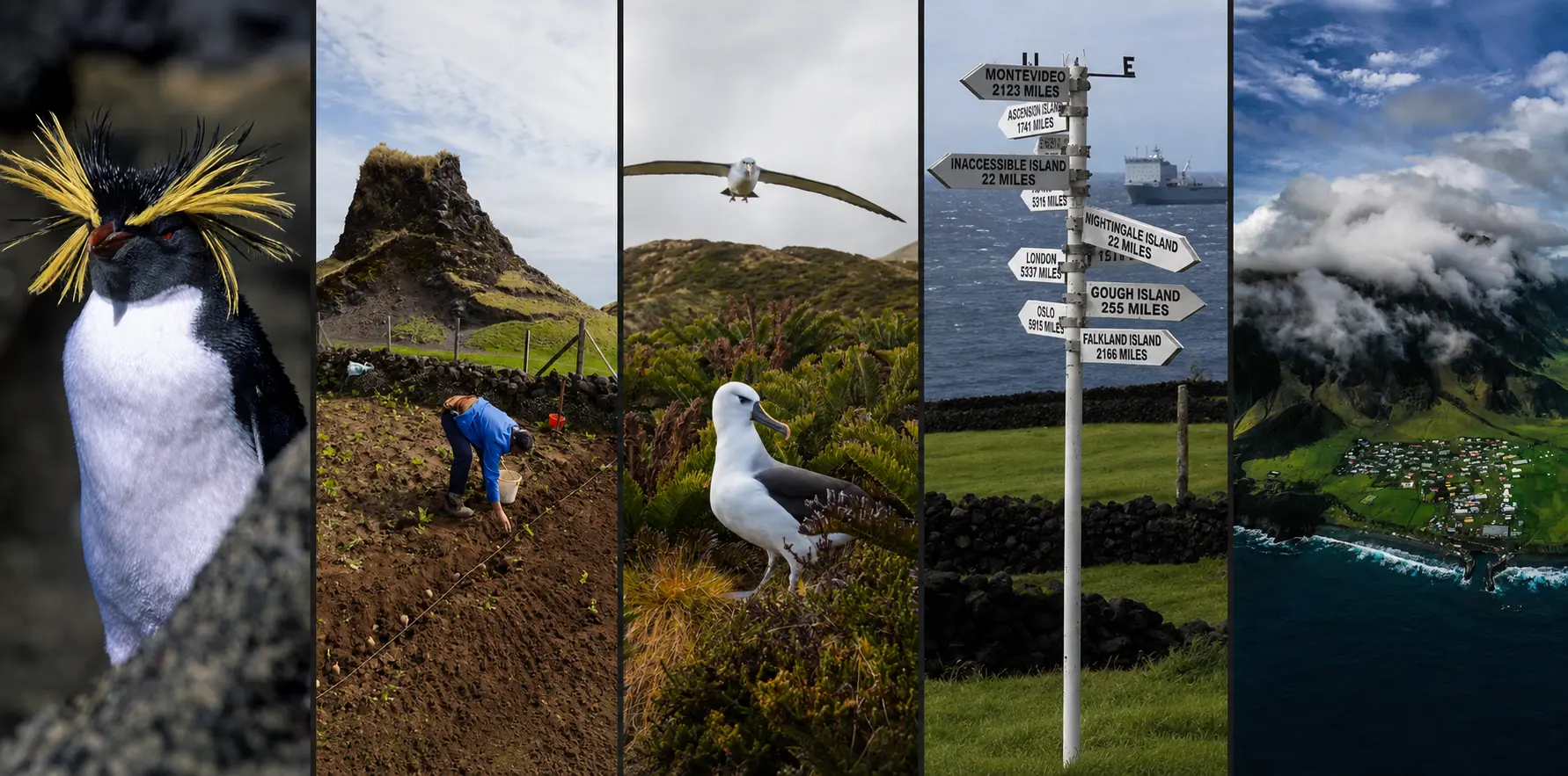
Today, the basic problem remains almost unchanged. Tristan still has no airport. Scheduled ships leave from Cape Town, the nearest mainland city roughly 2,800 kilometres away, and the journey is measured in days rather than hours. Visitor numbers are limited partly because shipping berths themselves are limited, and some vessels reach the island only to discover that conditions prevent a landing.
Modern communications can cross the distance instantly.
People still cannot.
- Tristan da Cunha Government / Tristan Association — https://www.tristandc.com/
- Wikipedia — https://en.wikipedia.org/wiki/Tristan_da_Cunha
Inaccessible Island
In 1983, Inaccessible Island is exactly what its name suggests.
It is an uninhabited extinct volcanic island of about 14 km² in the Tristan da Cunha group, with an interior plateau rising to roughly 450 metres and sheer sea cliffs around almost its entire coastline. Only a few boulder beaches offer possible landing sites. There is no harbour, no town and almost nothing resembling easy access.
The climate is oceanic rather than polar, but that does not make arrival comfortable. Strong winds, mist, rain and large South Atlantic swells can remove a landing opportunity very quickly. The island does not need permanent snow, ice or extreme temperatures to remain inaccessible.
Its isolation has protected an unusually intact ecosystem. Freshwater streams descend from peat-covered uplands, seabird colonies occupy the cliffs and the island supports endemic species including the Inaccessible Island rail. Geography has done much of the conservation work simply by making human occupation extremely inconvenient.
And 1983 gives us a remarkable snapshot.
The 1982–83 Denstone College Expedition had just spent months carrying out the first detailed ground survey of the island’s geology, fauna and flora. The expedition built a small hut at Blenden Hall, providing a base near the only relatively safe route from the coast toward the interior.
At the exact period represented by Rust’s calendar, scientists have only just managed to map the place properly — and their hut is essentially its only building.
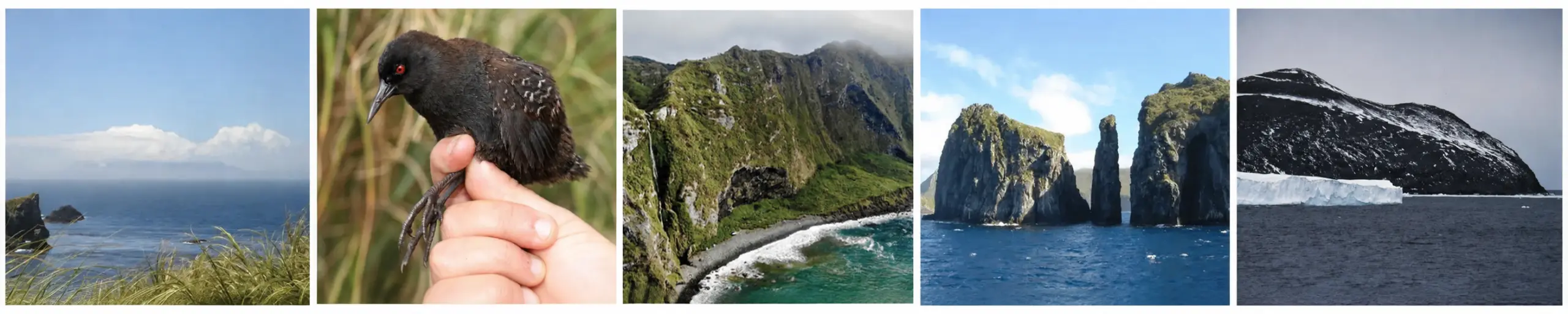
Today, Inaccessible remains uninhabited and difficult to reach. It became part of the Gough and Inaccessible Islands World Heritage Site in 2004, and conservation work is closely managed. Better ships, communications and equipment have not made the cliffs disappear or calmed the ocean. Modern teams still need favourable conditions simply to get ashore.
- Tristan da Cunha Government — Inaccessible Island — https://www.tristandc.com/inaccessible.php
- Wikipedia — https://en.wikipedia.org/wiki/Inaccessible_Island
The Territory We Cannot See
The islands are only the pieces of this region that happen to break the surface.
Most of the territory is hidden under kilometres of water.
Rust’s hypothetical position lies in a deep Atlantic basin west of the Mid-Atlantic Ridge. The surrounding ocean floor contains abyssal plains, fracture zones, submarine ridges, seamounts and enormous volcanic structures whose highest points occasionally become islands.
The visible land can give a very misleading sense of scale.
Saint Peter and Saint Paul is the tiny exposed top of a structure rising from roughly four kilometres below the ocean surface. Fernando de Noronha is the summit of a submerged volcanic mountain chain. Trindade stands at the end of another long volcanic ridge extending beneath the Atlantic.
The dots on our map are not objects floating on a flat blue surface.
They are mountain tops.
Deep Sea Does Not Always Mean a Trench
When people imagine extreme ocean depth, they often imagine the Pacific: the Mariana Trench, subduction zones and the Ring of Fire.
That is a different kind of geology.
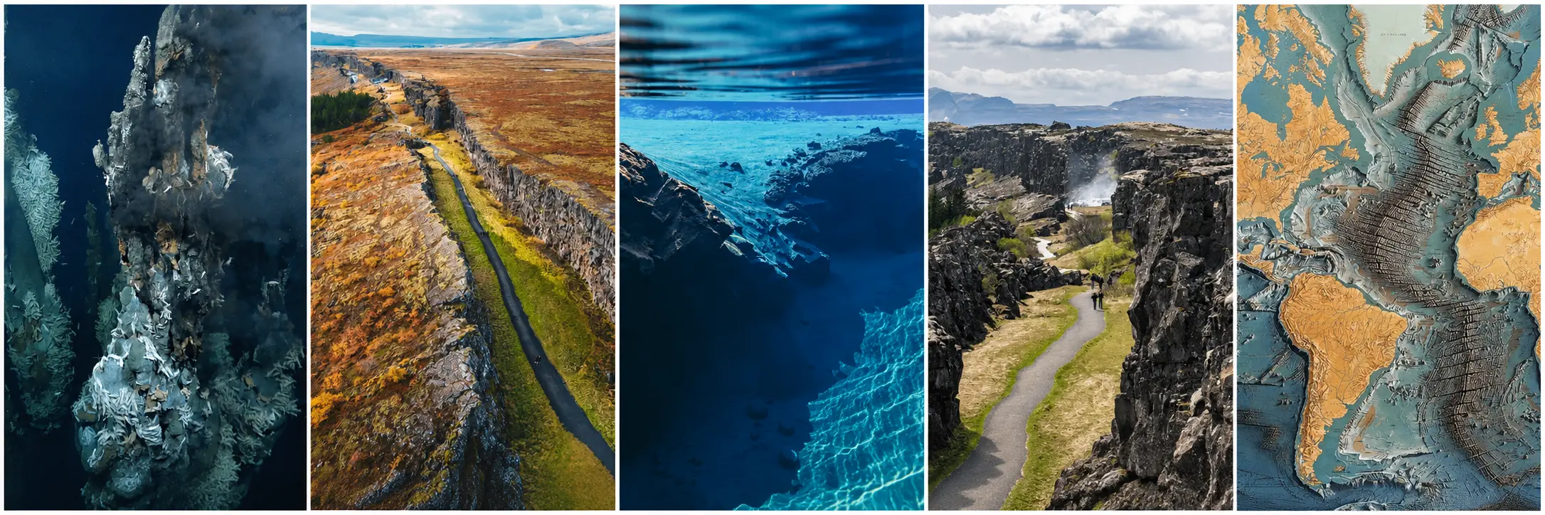
The central Atlantic is dominated by the Mid-Atlantic Ridge, where tectonic plates move apart and new oceanic crust forms. The surrounding landscape is therefore characterised less by one enormous trench and more by abyssal basins interrupted by ridges, faults, fracture zones, submarine mountains and volcanic chains.
Four or five kilometres of water is still deep sea.
It simply hides a different kind of landscape. Iceland is one of the rare places where the Mid-Atlantic Ridge rises above sea level. Almost everywhere else, the same mountain system is hidden beneath the Atlantic.
- NOAA Ocean Exploration — What is a mid-ocean ridge?
NOAA — What is a Mid-Ocean Ridge? - USGS — Understanding Plate Motions
USGS — Plate Tectonics
The Doldrums — A Territory That Moves
The ocean also contains regions with no coastline at all.
Near the equator, the trade winds of the Northern and Southern Hemispheres converge in the Intertropical Convergence Zone, historically known to sailors as the Doldrums. NOAA describes its central belt as extending roughly five degrees north and south of the equator, although the exact position moves during the year. Rising warm, moist air produces frequent showers and thunderstorms while surface winds can become remarkably weak.
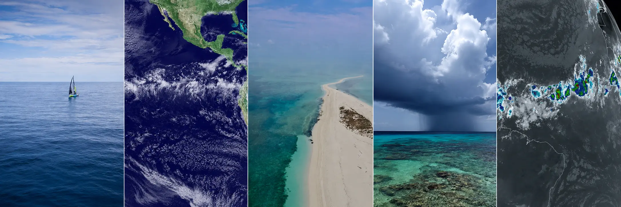
Rust’s position around 10° S lies south of the central Doldrums and within the South-East Trade Wind regime.
But the boundary is not painted on the ocean.
Atmospheric geography moves.
- NOAA Ocean Service — What are the Doldrums?
NOAA — What Are the Doldrums? - NOAA Ocean Service — What are the Trade Winds?
NOAA — Trade Winds
The Ocean Is Moving Too
The water itself belongs to large circulation systems.
The South Equatorial Current carries water generally westward toward South America. Part of that circulation eventually feeds the Brazil Current, which flows south along the continent as part of the South Atlantic subtropical gyre.
Farther south, around 38° S, the warm and salty Brazil Current encounters the cold, fresher Malvinas Current flowing northward. The resulting Brazil–Malvinas Confluence produces strong surface and subsurface fronts and intense mesoscale variability.
Continue farther south and another transition appears.
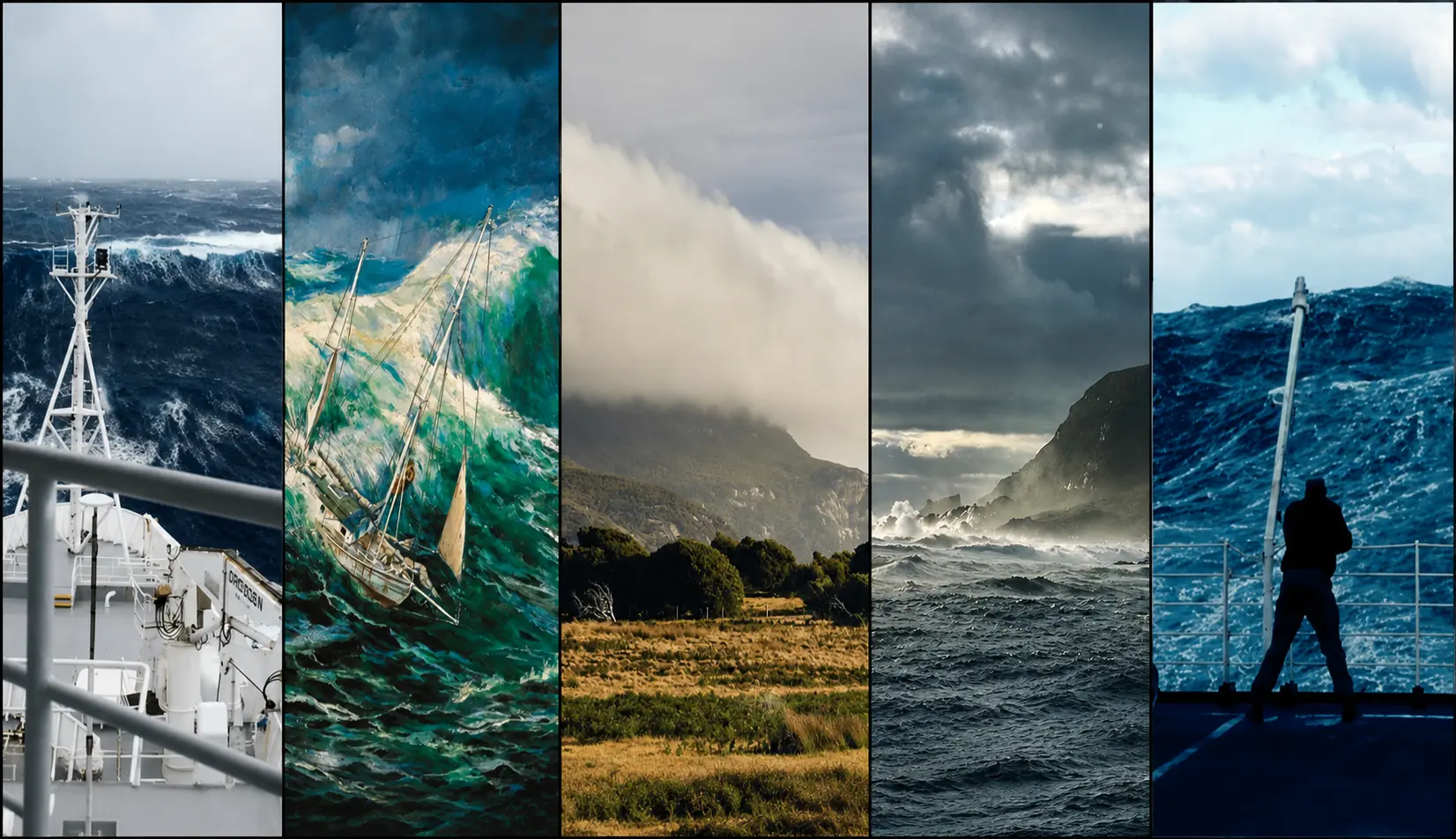
Between approximately 40° and 50° S are the Roaring Forties, strong prevailing westerly winds made particularly powerful in the Southern Hemisphere because there is so little continental land to interrupt them. Farther south come the Furious Fifties and Screaming Sixties.
Again, there is no wall.
Cross the latitude and the world simply becomes different.
-
- NOAA/AOML — Brazil Current: Regional Impacts and Brazil–Malvinas Confluence
https://www.aoml.noaa.gov/phod/research/bc/regional_impacts/ - NOAA/AOML — Brazil–Malvinas Confluence Variability
https://www.aoml.noaa.gov/phod/altimetry/cvar/mal/ - NOAA Ocean Service — What Are the Roaring Forties?
https://oceanservice.noaa.gov/facts/roaring-forties.html - NOAA Ocean Service — What Is an Ocean Gyre?
https://oceanservice.noaa.gov/facts/gyre.html
- NOAA/AOML — Brazil Current: Regional Impacts and Brazil–Malvinas Confluence
The South Atlantic Anomaly
There is one final territory in this region that cannot be seen from a beach, a ship or an aircraft window.
Above parts of South America and the South Atlantic lies the South Atlantic Anomaly, a large region where Earth’s magnetic field is unusually weak.
At ground level, there is no obvious sensation that anything has changed.
Hundreds of kilometres above, spacecraft notice.
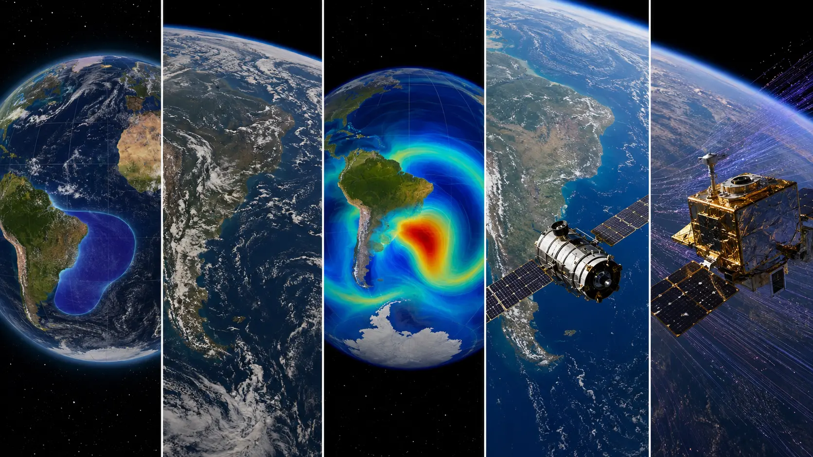
The weaker field allows energetic charged particles to approach Earth more closely, creating a region where radiation can interfere with satellite computers, instruments and data collection. NASA tracks the anomaly as it slowly changes shape and position over time.
It may be the strangest territory on this entire map.
Humans can sail underneath it without seeing it.
Satellites passing overhead may know exactly when they have entered.
- NASA — Researchers Track Slowly Splitting “Dent” in Earth’s Magnetic Field
NASA — South Atlantic Anomaly - NASA Scientific Visualization Studio — South Atlantic Anomaly: 2015–2025
NASA SVS — South Atlantic Anomaly Visualization - NASA Earth Observatory — MISR Shows South Atlantic Anomaly
NASA Earth Observatory — South Atlantic Anomaly
An Empty Point, Not an Empty Territory
There is still no island at 10°02′ S, 20°38′ W.
Nothing we found changes that.
But now we know what kinds of islands actually exist around that point.
A densely populated Caribbean state can fit on 430 km² and maintain international aviation and satellite communications.
A barren volcanic island can contain military bases, long-range tracking infrastructure and a mountain ecosystem deliberately transformed by humans.
A few exposed rocks can become a permanently occupied scientific station.
A ten-square-kilometre volcanic island can remain under continuous naval occupation for decades.
A community of several thousand people can function for generations without an airport.
A few hundred people can maintain a complete settlement almost 3,000 kilometres from the nearest mainland city.
And an island can remain so difficult to reach that, in 1983, scientists have only just completed its first proper ground survey.
We are not telling these stories because any one of those places is secretly Rust Island.
We are showing them because this is what real islands can look like.
Some are civilian. Some are military. Some are scientific. Some are protected. Some are extensively modified. Some are nearly untouched. Some are easy to reach and difficult to enter; others are perfectly legal to visit and still extraordinarily difficult to reach.
None of them reproduces Rust.
Together, however, they show what a Rust-type island can look like in the real world when isolation, geology and human activity are allowed to shape a small piece of land in the middle of an ocean.
And even that only describes the land.
Below it are kilometres of hidden mountains and abyssal plains. Around it move currents, wind belts and ocean fronts. Above it sits a magnetic anomaly capable of affecting spacecraft.
The point itself may be empty.
The territory is not.
Now we know what is there.
The next question is what humans have done with it — and what they have remembered, survived, lost and imagined in this part of the Atlantic.