Where Dafuk Am I? — The Spirit Within
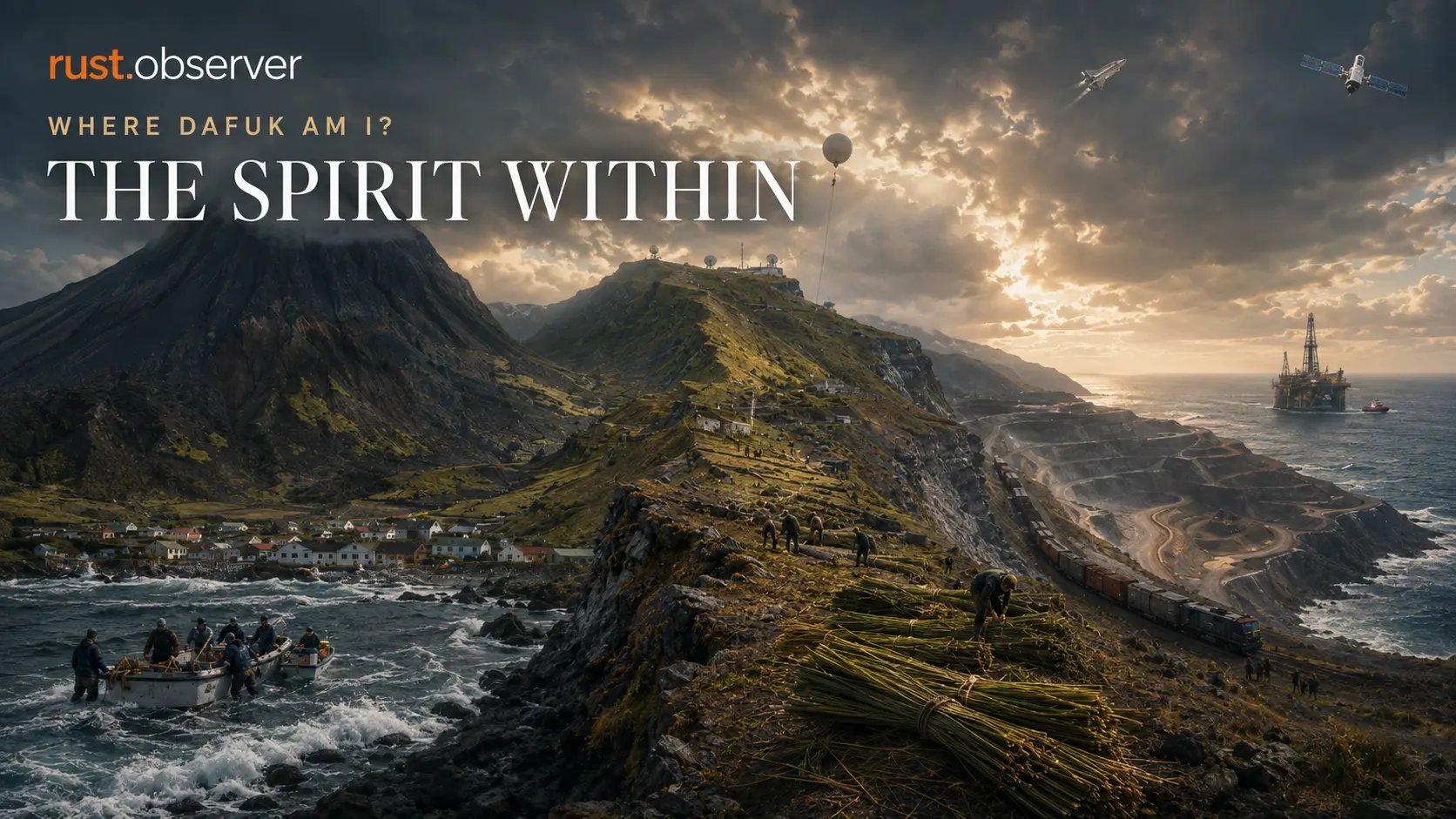
From Tristan da Cunha to Saint Helena, Ascension, Brazil, Angola and Gough Island, the South Atlantic of 1983 was anything but empty. Behind every remote dot on the map were people, industries, instruments — and reasons to stay.
A map can tell us where something is.
It can show an island, a mountain, a harbour, a mine, a railway, an oil field or a weather station. Add enough layers and it can show shipping routes, launch ranges, tracking antennas and the places where somebody decided, for one reason or another, to build something in the middle of nowhere.
But maps are remarkably bad at showing why anyone is still there.
By now, our patch of the South Atlantic is no longer empty.
There are islands scattered through it, inhabited and uninhabited. There are cities on both continental shores. There are mining districts inland, oil fields along the African coast, fishing grounds, weather stations, research vessels, launch centres and antennas staring upward from places that otherwise appear as tiny dots on a globe.
None of those things operate themselves.
Somebody has to catch the fish.
Somebody has to cut the crop.
Somebody has to repair the generator.
Somebody has to drive the train.
Somebody has to load the ship.
Somebody has to launch the weather balloon.
Somebody has to keep an antenna pointed at something moving thousands of kilometres above the Earth.
And sometimes somebody has to decide that living beside a volcano, on one of the most isolated inhabited islands on the planet, is still preferable to moving somewhere easier.
Remarkably, we do not even have to speculate about that last one.
They were given the choice.
They came back
In October 1961, the people of Tristan da Cunha had a fairly convincing reason to abandon their island.
After a period of tremors and rising ground, a volcanic cone appeared beside the Settlement. The entire community was evacuated. On 11 October, the Dutch ship Tjisadane picked up the islanders and began a journey that would eventually carry them through Cape Town and onward to Britain. Lava subsequently destroyed the fishing factory and one of the island’s principal landing areas.
For perhaps the first time in their lives, the people of Tristan were not merely hearing descriptions of the outside world from sailors or receiving pieces of it aboard supply ships.
They were living in it.
Children attended British schools. Adults found jobs in local businesses and aboard ships. Families were housed first at Pendell Camp and later in former RAF housing at Calshot. The British government assumed that this relocation might simply become permanent.
It was not an unreasonable assumption.
Their island had just erupted.
Their factory was gone.
Their landing places were damaged.
Livestock had been left behind.
Their houses had spent months unattended.
Britain could offer work, education, hospitals, roads, shops and all the conveniences that tend to make a volcanic island in the South Atlantic look like a very peculiar place to raise a family.
Then somebody asked the islanders what they wanted.
The answer was not close.
148 voted to return.
Five voted to stay.
A survey party, including twelve islanders, returned in September 1962 and began making the neglected Settlement habitable again. An advance group of 51 arrived on 9 April 1963. Another 198 followed later that year, reaching Tristan on 10 November. Most of the community had returned to the island that everyone else had assumed they would sensibly abandon.
That decision tells us more about the South Atlantic than another population table ever could.
A remote community is not necessarily a collection of people who never discovered that easier places exist.
Sometimes they know exactly what the easier option looks like.
And choose the island anyway.
But wanting to return and being able to remain are two different problems.
Tristan still needed an economy.
Before the eruption, commercial fishing for the local rock lobster — usually called crawfish on the island — had become the foundation of one. Commercial operations began in 1949 following an exploratory expedition the year before. A processing plant was constructed, and through the 1950s island fishermen worked largely from dinghies launched directly from shore, eventually using a motorboat to tow them farther around the island. The original factory was lost to the 1961 lava flow.
So the community built another one.
Fishing resumed after resettlement, larger motorboats gradually replaced the dinghies from 1965 onward, and the rebuilt factory officially opened on 23 May 1966.
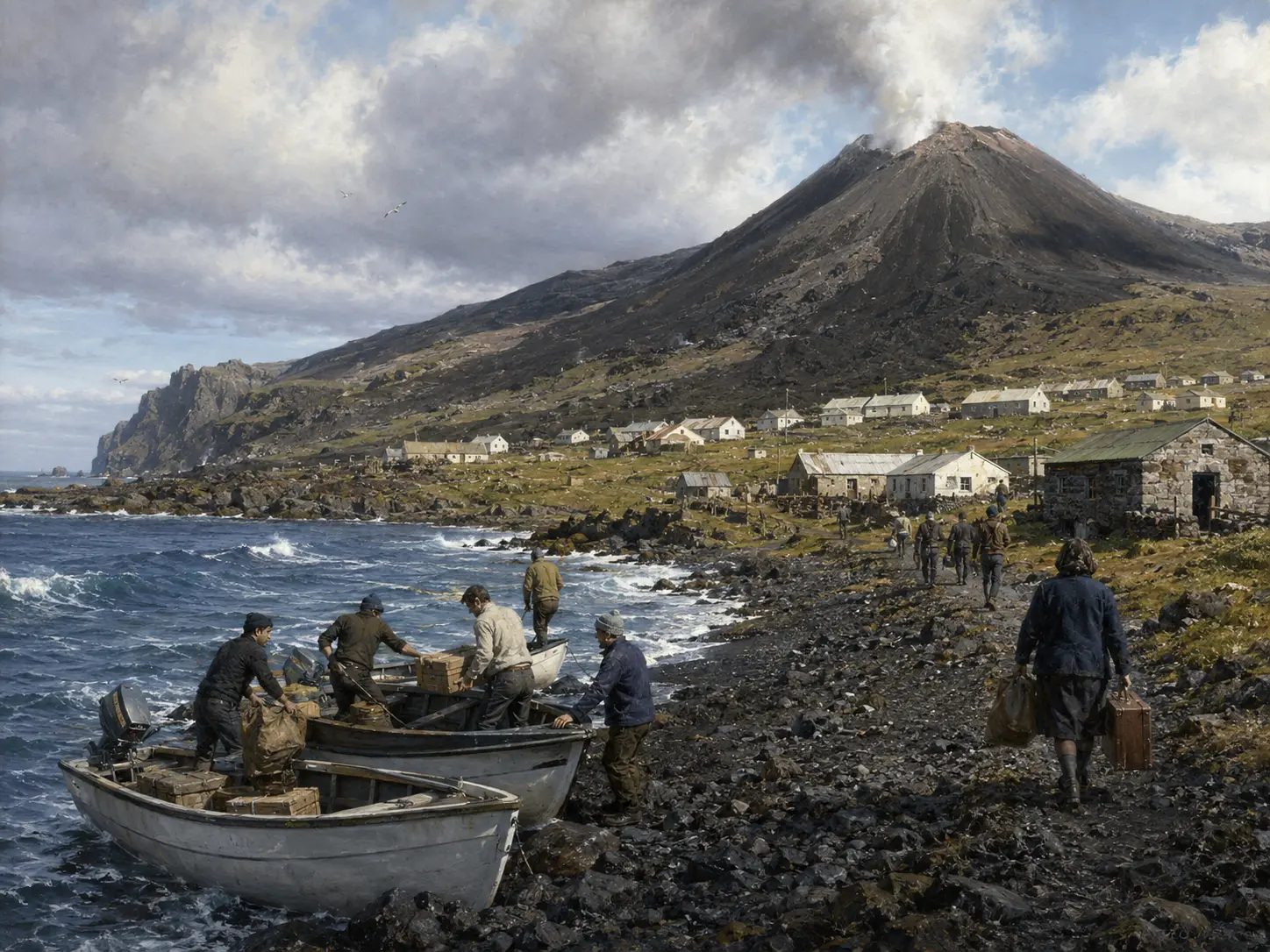 That is what “returning home” actually meant.
Not standing on the beach admiring the volcano.
Boats had to work.
Fish had to reach the factory.
The factory had to freeze and process the catch.
Fuel had to arrive.
Engines needed parts.
Buildings needed roofs.
Electricity had to be generated.
Food that could not be produced locally still had to cross the ocean.
And every failure mattered more because the replacement was rarely waiting in a warehouse twenty minutes away.
By the beginning of the 1980s, Tristan was even experimenting with alternatives for some of that energy burden. Solar water-heating equipment was tried on expatriate housing during the 1970s and early 1980s. In 1982, a wind turbine was installed to generate electricity.
It worked.
For a while.
Then a gale destroyed it.
That may be one of the most honest little stories about living on an isolated Atlantic island.
You can invent a solution.
You can ship it across the ocean.
You can install it.
You can prove that it works.
And then the South Atlantic gets a vote.
Still, people stayed.
That is the first thing our map could not show.
A place needs a reason
Not every settlement in the region exists because generations of families refuse to leave.
Sometimes the reason is work.
Sometimes it is a resource.
Sometimes somebody discovers that a plant, a rock, a fish, a patch of ocean or a particular geographical position can be turned into an industry.
And when that happens, people do not simply move into a landscape.
They begin reorganizing it.
Saint Helena spent much of the twentieth century doing exactly that with a plant that did not belong there.
New Zealand flax — Phormium tenax — had already been introduced during the nineteenth century. Early attempts to make an export industry from it failed, partly because getting the harvested material to the processing mill was too expensive. Economic hardship brought another attempt in 1907, when a government mill opened at Longwood and money was made available to encourage more planting.
This time it took.
Eventually flax became one of the island’s dominant industries.
At its peak, more than 12 square kilometres of Saint Helena were covered with it.
Twelve square kilometres may not sound enormous until we remember that we are talking about a small Atlantic island and a plant that people deliberately spread because its leaves could be turned into fibre.
The crop changed what the hills looked like.
It changed where people worked.
It changed how material moved around the island.
It generated mills, machinery, transport and jobs.
And those jobs were physical.
Later recollections from former Saint Helena flax workers describe days beginning early, workers climbing hills with sharp sickles, and harvested leaves being tied into bundles weighing roughly 56 pounds. One worker recalled an expectation of around sixty bundles in a day. Depending on the terrain, the flax came down from the hills by hand or donkey. At the mill the leaves were sorted, stripped, washed, dried and beaten before the fibre was ready.
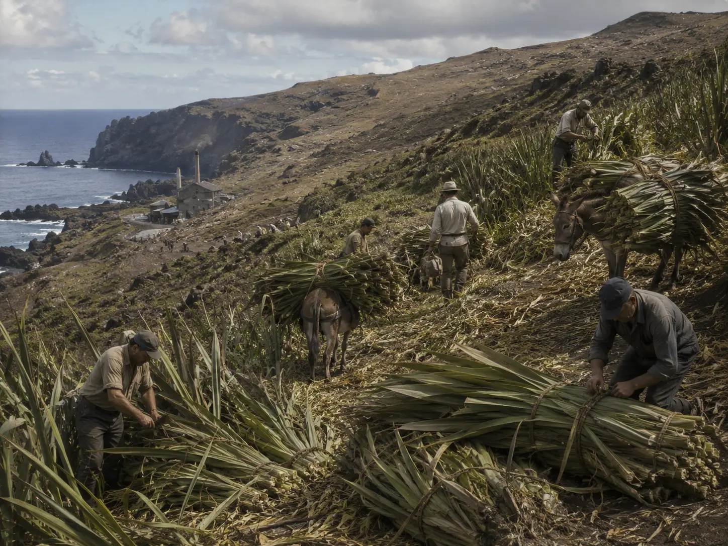 That is the part economic statistics hide.
“Flax industry” sounds like a line in a report.
On the ground, it is someone walking to work after feeding the pigs.
It is somebody sharpening a sickle.
It is a donkey carrying bundles down a slope.
It is a stripping machine running inside a mill.
It is wet fibre refusing to dry because the weather has changed.
For decades, all of that activity made sense because somebody somewhere else wanted the fibre.
Then they did not.
Synthetic materials increasingly competed with natural fibre, an important British customer moved away from flax products, and the economics collapsed. Saint Helena’s last flax mill closed on 14 September 1966.
The employment disappeared much faster than the plant.
So by 26 April 1983, Saint Helena already contained the remains of an industrial ecosystem whose original economic purpose had largely vanished seventeen years earlier.
Derelict or repurposed mills still existed.
Flax still covered substantial portions of the countryside.
That is another thing maps handle badly.
They can show us what occupies the land.
They are much worse at telling us why it is there.
A hillside covered in vegetation might look natural until someone tells you that it is effectively the abandoned machinery of a dead industry.
Humans do not merely occupy landscapes.
Sometimes they leave industries growing on them.
Sometimes they do it on purpose
Ascension takes the idea several steps further.
Early accounts describe a young volcanic island with sparse native vegetation, much of it concentrated around the higher elevations of Green Mountain. The lower country was dry and comparatively barren.
Then people began treating the island itself like a practical problem.
In 1843, a visiting botanist proposed establishing large trees on Green Mountain so vegetation could intercept humid air and improve moisture conditions. The lower slopes could also be planted to reduce erosion. Over the following years, seeds from numerous tropical species were sent to Ascension.
And people did not stop with plants.
Goats, rabbits, sheep and donkeys became established as well.
The result was not the reconstruction of some pristine ecosystem.
It was the creation of something new.
By the twentieth century, Green Mountain had become a dense mixture of introduced forest and scrub while the lower elevations retained much of their dry volcanic character. Native species had been pushed into increasingly limited refuges while vigorous introduced plants occupied large areas.
There are easier places on Earth to find a forest.
There are very few where the contrast between bare volcanic lowlands and a wet green summit exists partly because generations of humans decided the mountain should work differently.
And for our purposes, it is important not to tell this story backwards.
We know what later conservation programmes would think about introduced species.
That is not yet our question.
We are standing on 26 April 1983.
The transformed landscape already exists.
The important historical question is what people had been trying to accomplish.
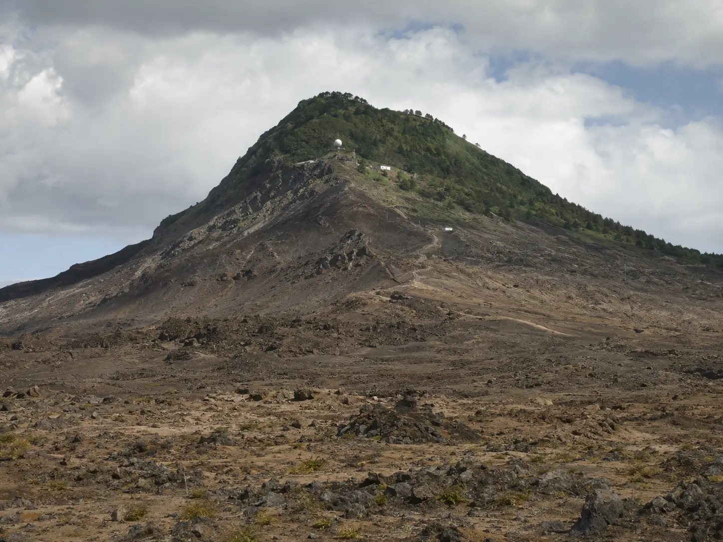 Can this mountain hold more water?
Can soil stay on the slope?
Can crops grow?
Can trees survive?
Can the island support the people and installations being placed on it?
Ascension was not merely inhabited.
Parts of it had been engineered ecologically.
Seeds became infrastructure.
Trees became part of the water problem.
Vegetation became part of erosion control.
The mountain itself became something people could modify in order to make the rest of human occupation easier.
On Ascension, it becomes increasingly difficult to say where the natural landscape ends and the support system begins.
That distinction is about to become even harder on the continents.
Digging into the continent
The islands can make the South Atlantic look like a history of small communities improvising ways to survive.
Move inland into Brazil and the scale changes violently.
Minas Gerais does not need to invent a reason for people to dig.
The reason is already underground.
Around Itabira, enormous iron deposits created an industry that could never function as a mine alone.
The organisations that eventually became Companhia Vale do Rio Doce had already begun assembling mining properties, railway access and port infrastructure before Vale itself was formally created in 1942. When the company was established, it inherited the existing Estrada de Ferro Vitória a Minas, connecting the mineral districts toward the Atlantic.
That connection is the important part.
Ore sitting under a mountain is geology.
Ore that can be extracted, crushed, loaded onto trains, transported hundreds of kilometres and transferred to a ship becomes an economy.
The mine therefore extends far beyond the edge of the pit.
Its real footprint includes workshops.
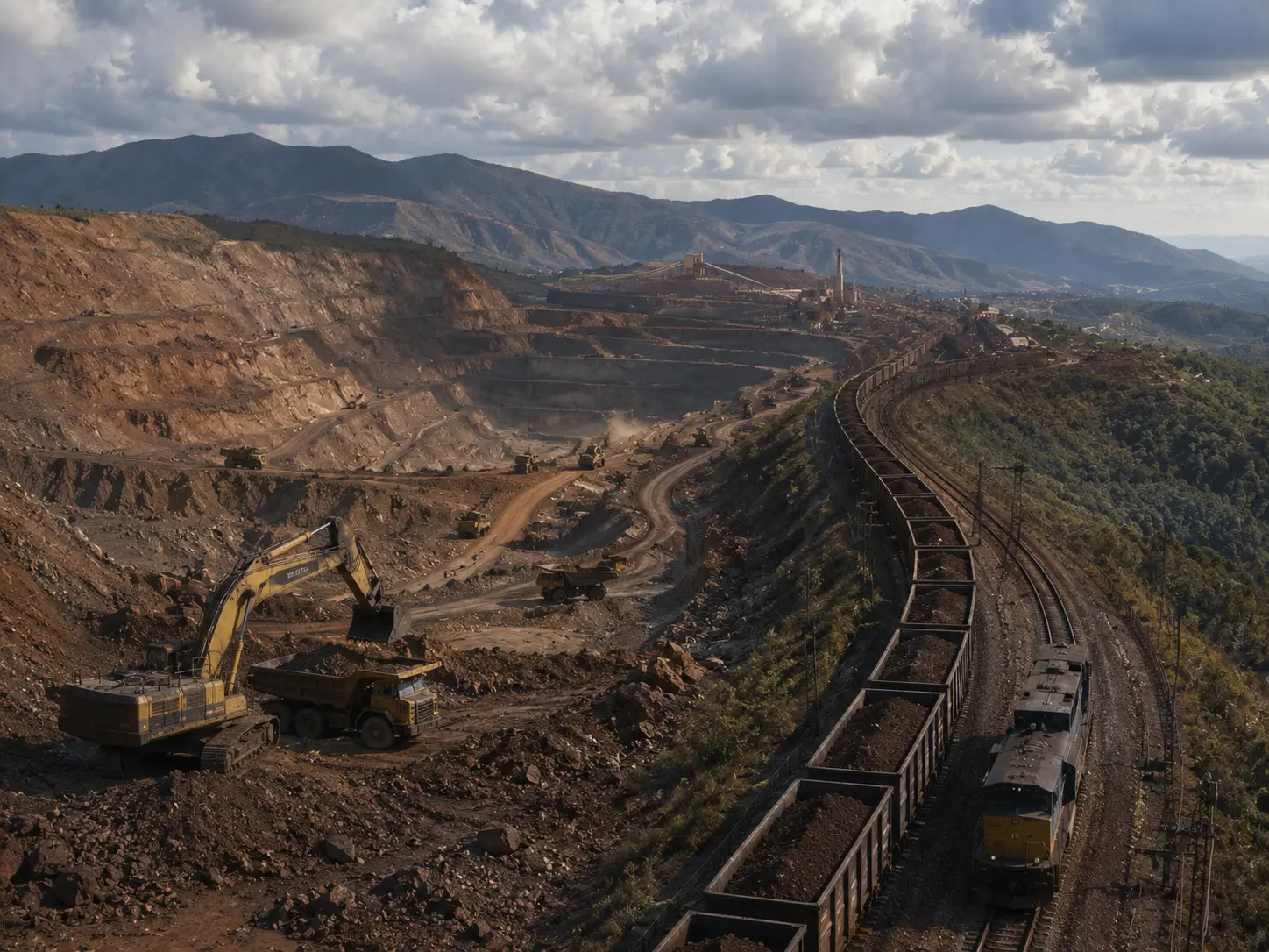 Roads.
Rail sidings.
Locomotives.
Power.
Fuel.
Maintenance buildings.
Explosives.
Ore handling.
Workers.
Housing.
Communication.
And finally a port.
Vale’s own historical archive shows that its early operations were concentrated at Itabira and that the railway and port facilities were integral parts of the system from the company’s creation.
Seen individually on a map, those pieces can look unrelated.
A scar in the mountains.
A railway disappearing through the interior.
Industrial buildings beside the tracks.
A terminal on the coast.
A bulk carrier leaving Brazil.
Functionally, they are one enormous machine stretched across the landscape.
Remove the railway and the mine changes.
Remove the port and the railway loses much of its purpose.
Remove the mechanics and eventually neither moves.
Remove the workers and the mineral stays exactly where geology left it.
This is one of the recurring tricks of the region.
The thing that keeps a place alive is often not located in that place at all.
It is somewhere farther down the chain.
The ocean can be part of the machine too
On the African side, another industrial chain was extending off the coast and disappearing beneath the water.
Angola’s petroleum history had already moved offshore well before our cutoff.
Commercial discoveries occurred during the 1950s. The offshore of Cabinda was surveyed seismically in 1962. The Limba discovery followed in 1966, and the Malongo field began operating in 1968, producing what Angola’s petroleum regulator describes as the country’s first major jump in oil output. By 1973, petroleum had overtaken coffee as Angola’s principal export.
The scale was already substantial.
Production reached about 174,000 barrels of crude per day in 1974. After the creation of Sonangol in 1976, production was still around 100,000 barrels per day, coming from offshore Cabinda as well as onshore areas of the Congo and Kwanza basins.
And then, immediately before our date, another field entered the picture.
Takula began production in 1982, producing another surge in Angolan output.
Once again, the interesting thing is not simply the number of barrels.
Oil does not rise from a reservoir and teleport into a fuel tank.
A producing field creates its own geography.
There are seismic surveys before the well.
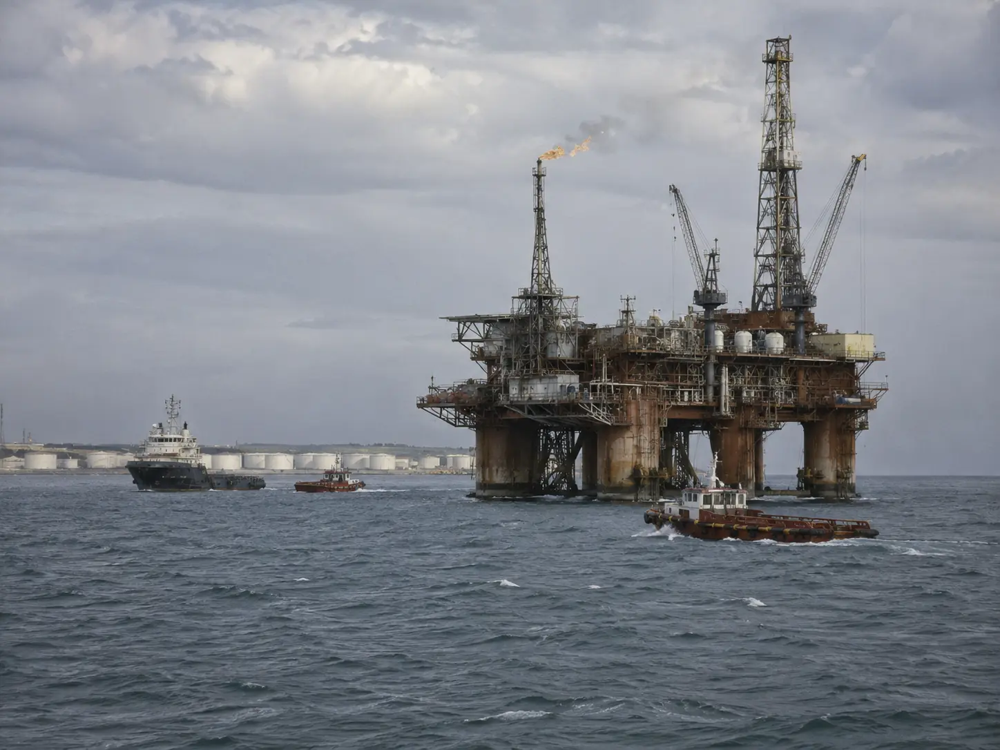 Drilling equipment.
Platforms.
Pipelines.
Pumps.
Storage.
Terminals.
Service vessels.
Workshops.
Crews.
Replacement parts.
Food.
Water.
Transport.
Training.
Someone has to understand the equipment, and that expertise cannot simply be assumed to exist because the reservoir does.
When the Angolan petroleum sector was reorganised in the 1970s, maintaining operations required not only facilities but people capable of running them. Sonangol’s own history describes absorbing experienced workers and sending early groups of trainees abroad, including to Italy and Algeria, before they returned near the end of the decade.
That belongs squarely in The Spirit Within.
An oil field is not alive because oil exists.
It is alive because somebody knows how to keep the pumps turning.
By April 1983, the South Atlantic off Angola was therefore not empty water separating two continents.
It was industrial terrain.
Some of its most important machinery simply happened to be standing above an ocean instead of on land.
And, at almost the same time, other people were turning that same ocean into something to be measured.
First kill the whale. Then study the whale.
For a long time, whales in the Southern Ocean were primarily something people went looking for because they could be turned into money.
Commercial whaling expanded dramatically during the early twentieth century.
Eventually, the scale of exploitation created an obvious problem.
If you are going to keep extracting a living resource from an enormous ocean, at some point you need to understand what is happening to that resource.
That need helped produce the Discovery Investigations.
Beginning in 1925, the programme conducted marine-biological and oceanographic surveys in the Southern Ocean. It emerged specifically from concern over rapidly expanding whaling and the need to understand marine resources and the environment supporting them.
This is where industrial exploitation begins quietly turning into ocean science.
One of the programme’s vessels, the William Scoresby, was launched in 1926.
It was only 134 feet long, displaced 324 gross tons and could make about 12 knots. Its design followed the general lines of a whale catcher — which makes sense, because it needed to work in the same environment — but inside it carried a scientific laboratory and equipment for trawling and whale-marking.
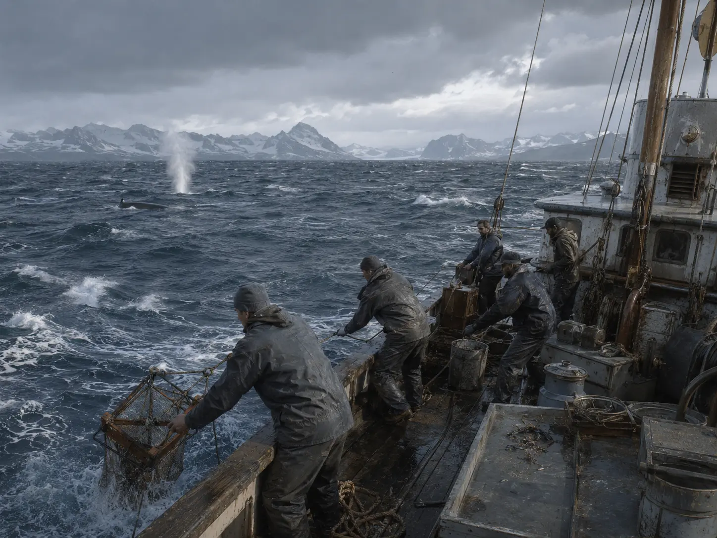 That ship is almost the entire transition in miniature.
Take the vessel designed to find whales.
Add a laboratory.
Add instruments.
Start asking questions.
What lives here?
Where does it move?
What is the temperature?
What is the salinity?
What is below the ship?
What is feeding what?
How many whales are left?
The ocean begins filling with measurements.
Not because people suddenly became curious about everything for no reason.
Part of the science emerged because exploitation had become too large to continue blindly.
The whale required understanding.
Understanding the whale required understanding its food.
That required understanding plankton.
Currents.
Temperature.
Water masses.
The shape of the seafloor.
The whole system surrounding the animal.
The resource led outward until the ocean itself became the subject.
By the time we reach our 1983 world, generations of ships have crossed these waters not merely carrying cargo or catching something, but deliberately collecting information.
The South Atlantic did not become less mysterious because someone found one answer.
It became less mysterious because people kept returning with better instruments.
Somebody has to write down the weather
Gough Island reduces all of that scientific ambition to its most basic requirement.
Someone has to be there.
South Africa has maintained a meteorological station on Gough since 1956. The island’s position near 40° south, 9° west makes its observations useful for understanding weather systems crossing the South Atlantic toward southern Africa.
That sounds simple until we remember what a weather station actually requires.
Temperature does not record itself.
Neither does pressure.
Wind.
Humidity.
Cloud.
Visibility.
Precipitation.
Upper-air observations require instruments to be prepared and released beneath balloons.
Equipment has to be calibrated.
Something exposed permanently to salt, moisture and wind eventually needs repair.
Collected information has to be recorded and transmitted somewhere useful. These surface observations, upper-air ascents, equipment maintenance and data transmission remain the core tasks described for the Gough meteorological programme.
And the station does not exist because Gough has a large city desperately waiting for tomorrow’s forecast.
It exists largely because Gough is in the right place.
Weather passes over it.
That is enough.
So a remote island becomes part of a continental forecasting system.
Its geographical position becomes a resource.
The instruments are part of that resource.
The radio is part of it.
The generator is part of it.
The building is part of it.
The person who notices that one of those things has stopped working is part of it too.
That last piece is easy to forget.
Remote science looks impressive when represented by dots on a map.
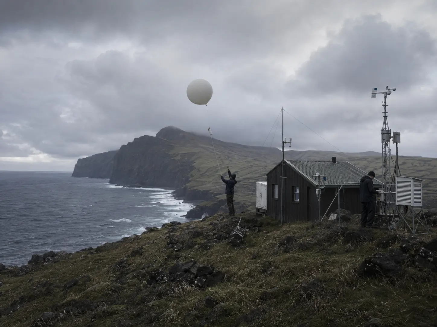 From the inside, much of it is maintenance.
Fuel.
Calibration.
Food.
Corrosion.
Spare parts.
Shifts.
Sleep.
Then another observation.
A broken pump does not care that your research is internationally important.
Someone still has to fix the pump.
Then everyone started looking up
By the 1960s, geographical position acquired another value.
Spacecraft move quickly.
The Earth rotates underneath them.
Radio signals disappear below the horizon.
Before communications satellites could conveniently relay large amounts of information between spacecraft and control centres, space programmes depended on networks of ground stations scattered around the planet.
When John Glenn orbited Earth in 1962, NASA already had 30 ground stations on five continents, supplemented by tracking ships across the world’s oceans.
Certain pieces of our South Atlantic suddenly became useful for reasons that had nothing to do with what was under the ground or swimming in the water.
Brazil was building its own capability.
The Barreira do Inferno Launch Center, near Natal, began operating in 1965 and hosted the first Brazilian campaigns launching scientific sounding rockets carrying research payloads. It became South America’s first rocket launch centre.
That means a beach on the Brazilian side of our map could now send instruments upward to investigate the atmosphere.
Ascension, meanwhile, became useful for listening.
NASA established its tracking facility there during the 1960s. Ascension’s antennas sat roughly 5,000 miles downrange from Kennedy Space Center and were among the first ground installations able to acquire spacecraft after launch from Cape Canaveral. Telemetry received there could be used to calculate the vehicle’s trajectory and tell subsequent tracking stations where to look. During Apollo, the station also helped perform spacecraft checks before crews were committed to the trajectory toward the Moon.
Think about the absurd beauty of that system for a moment.
Someone launches a spacecraft in Florida.
A few minutes later, people standing on a volcanic island in the middle of the South Atlantic need to be ready for it.
Their antenna has to work.
Their receiver has to work.
Their clocks have to agree.
Their communications link has to work.
Their power cannot decide this would be a convenient moment to stop.
They may only have the spacecraft in view briefly.
Then it is somebody else’s problem farther around the planet.
The ground network therefore turns geography into choreography.
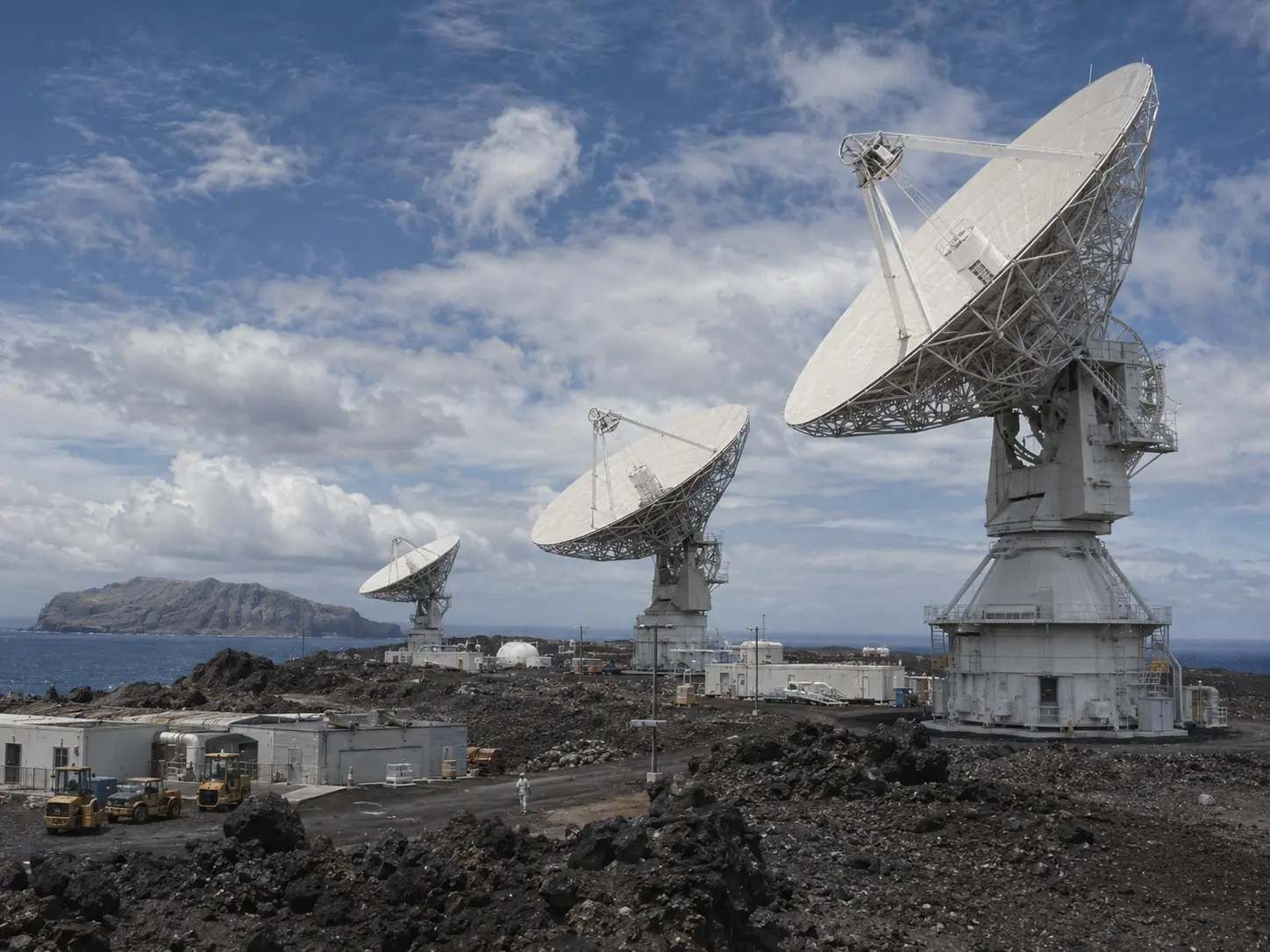 Florida launches.
Ascension listens.
Another station waits.
Ships fill the gaps.
Data moves back toward the control centre.
Then the Earth rotates and the whole arrangement changes again.
The spacecraft may be the glamorous part.
But much of spaceflight is somebody on the ground being exactly where physics requires them to be.
That makes Ascension’s role particularly strange.
Its value in this system does not come from something found on the island.
It comes from the fact that the island happens to be underneath the right piece of sky.
April 1983
And then our arbitrary little date does something unexpectedly useful.
26 April 1983.
Only twenty-two days earlier, on 4 April, the Space Shuttle Challenger had launched for the first time on mission STS-6.
Its primary payload was the first Tracking and Data Relay Satellite, TDRS-1.
The concept threatened to change the entire logic we have just described.
Instead of relying so heavily on a chain of ground stations waiting for a spacecraft to pass overhead, low-Earth-orbiting spacecraft could communicate through relay satellites positioned much higher above the planet. NASA’s new network was designed around geosynchronous relay spacecraft and a much smaller number of major ground terminals.
The worldwide web of little tracking stations would not disappear overnight.
But its reason for existing was beginning to change.
Except the future immediately broke.
After TDRS-1 was deployed, its Inertial Upper Stage malfunctioned.
Controllers briefly lost contact.
The satellite ended up stranded in the wrong elliptical orbit.
It stabilized, deployed its antennas and solar arrays, and began the long process of using its own propulsion system to climb toward where it was supposed to be.
It would not reach geosynchronous orbit until 29 June 1983.
Its final operational position would come even later.
So freeze everything on our date.
26 April 1983.
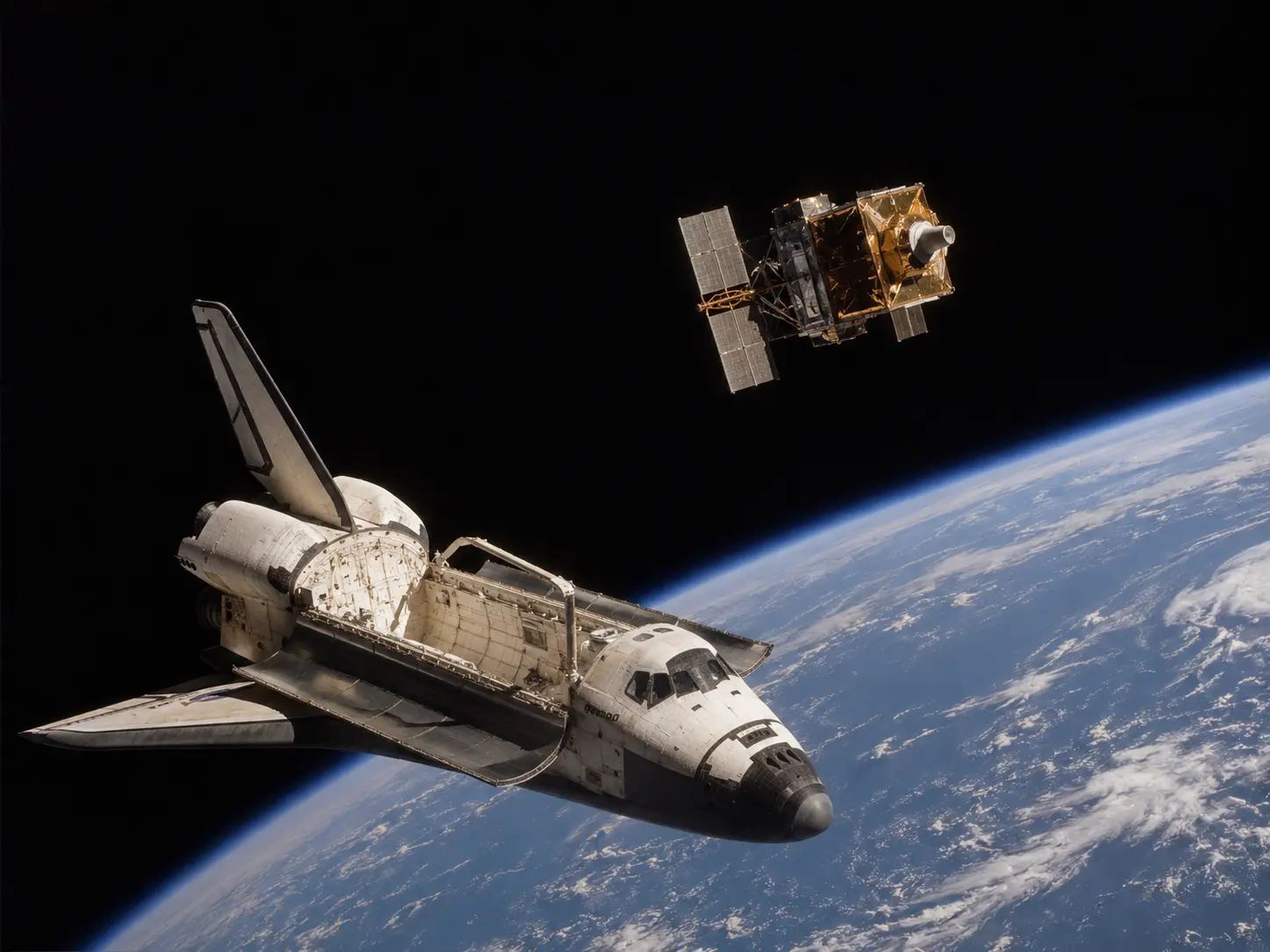 TDRS-1 is already in space.
The technology that will help make much of NASA’s old global tracking network obsolete has already launched.
But it is not yet where it needs to be.
It is slowly trying to rescue itself.
The new system exists.
The old one still has work to do.
There may not be a better accidental snapshot of what this whole article is about.
These places do not jump neatly from one purpose to another.
Old systems remain beside new ones.
Industries disappear and leave plants behind.
Mines acquire railways.
Fishing builds factories.
Factories are destroyed and rebuilt.
An island grows a forest because people need water and soil.
An ocean resource produces a scientific programme.
Weather turns a rock into an observing station.
Rockets turn coastlines into launch ranges.
Spacecraft turn isolated islands into pieces of a planetary communications network.
And in April 1983, one generation of infrastructure is still functioning while the machine designed to replace much of it is already above the Earth, temporarily stuck in the wrong orbit.
The future has launched.
It just has not arrived yet.
The invisible population
All of this makes population surprisingly difficult to understand.
A census tells us who lives somewhere.
It does not necessarily tell us how many people are required to make that place possible.
A fishing settlement needs people who repair boats.
Those boats depend on fuel and spare parts arriving from somewhere else.
A flax mill needs cutters working on hillsides far from the machinery.
A mine needs railway crews hundreds of kilometres from the ore face.
A port worker may never see the mine whose production fills the ship.
An offshore oil platform creates work on land.
A weather station with only a handful of people can produce information used across an entire continent.
A tracking antenna may exist because a spacecraft will pass over its horizon for only a few minutes.
The South Atlantic of 1983 is therefore full of people whose presence makes sense only when we look beyond the place where they are standing.
A fisherman on Tristan catches an animal that helps connect his tiny island economy with the outside world.
A worker on Saint Helena cuts a plant introduced generations before he was born.
A railway crew in Brazil moves rock toward an ocean-going ship.
An oil technician off Angola maintains machinery connected to a reservoir under the seabed.
A meteorologist on Gough watches weather that may matter more to people thousands of kilometres away than to anyone on Gough.
A technician on Ascension listens for a spacecraft launched from another continent.
None of them is doing the same job.
None of their places looks the same.
But together they reveal something the empty parts of the map conceal.
Isolation does not mean disconnection.
Sometimes the most isolated locations exist precisely because they are connected to something much larger.
A resource.
A market.
A weather system.
A scientific question.
An orbit.
A home.
That is the spirit within the dots.
Not merely the people.
The reasons that keep the people there.
And then there is Rust…
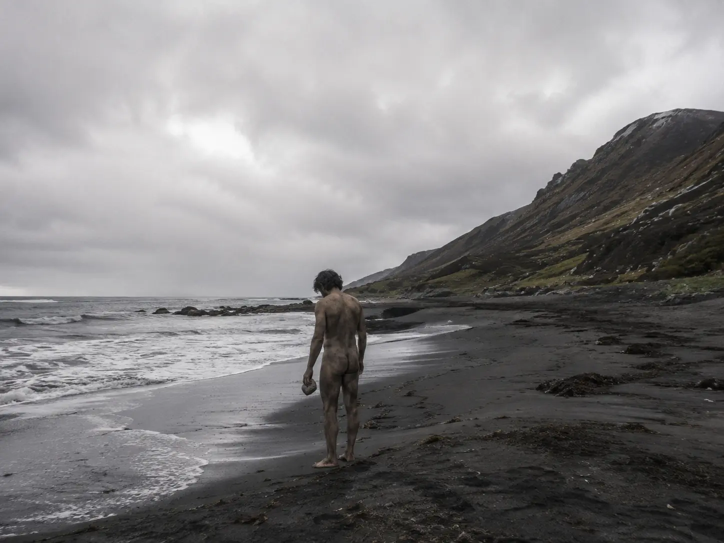 Which brings us back to our little island.
And after all of that, its population begins to look different.
Compared with the events that have shaped entire lives across this region, waking up naked on a beach with nothing but a rock no longer seems quite so dramatic.
Some people have had worse first days.
Because our trip around the real South Atlantic has made one question much harder to dismiss.
Not:
How can people live here?
Humans have demonstrated repeatedly that they can live almost anywhere if you give them a reason.
The better question is:
What reason could possibly make them want to keep living here?
References
Tristan da Cunha — evacuation, return and rebuilding
- Tristan da Cunha Government & Tristan da Cunha Association — Volcanic Interlude 1961–1963 — Detailed account of the 1961 eruption, evacuation aboard Tjisadane, the community’s stay in Britain, the 148–5 vote to return, the resettlement survey party and the return groups of 1963.
- Tristan da Cunha Government & Tristan da Cunha Association — Tristan Lobster Fisheries — History of the island’s commercial crawfish fishery from the exploratory expedition of 1948 and commercial operations beginning in 1949 through the destruction and rebuilding of the processing factory, which reopened in May 1966.
- Tristan da Cunha Government & Tristan da Cunha Association — Renewable Energy Projects of the 1980s — Photographic and historical record of early solar-water-heating experiments and the wind turbine erected in April 1982 and destroyed by a gale in May 1983.
Saint Helena — flax as an industrial landscape
- Saint Helena Island Info — The Flax Industry — Detailed history of Phormium tenax on Saint Helena, the government mill established at Longwood in 1907, the expansion of flax cultivation, working conditions and processing methods, the industry’s collapse and the closure of the final mill on 14 September 1966.
- UK Centre for Ecology & Hydrology — Reducing the threat of invasive non-native species on St Helena — Modern ecological context for the extensive areas of New Zealand flax left behind after the collapse of the industry and its continuing effect on native vegetation.
Ascension Island — engineering a mountain
- Ascension Island Government — Green Mountain — History of Joseph Dalton Hooker’s 1843 proposal to establish trees on Green Mountain to intercept moisture and vegetation on the slopes to reduce erosion.
- University of Oxford Herbaria — Ascension Island — Botanical history of Ascension, including Hooker’s visit, the introduction of tropical plant species and the transformation of Green Mountain.
Brazil — mine, railway and port
- Vale — Vale History Center — Corporate historical archive documenting the creation of Companhia Vale do Rio Doce in 1942, its mining properties and its inheritance of the already existing Estrada de Ferro Vitória a Minas.
- Vale — 80 Years Transforming the Future — Historical overview linking Vale’s creation with the Vitória–Minas railway, port facilities and Brazil’s iron-ore production system.
Angola — an offshore industrial landscape
- Agência Nacional de Petróleo, Gás e Biocombustíveis (ANPG) — Nossa História — Official chronology of Angola’s petroleum industry: the Limba discovery in 1966, Malongo production beginning in 1968, petroleum surpassing coffee as the country’s principal export in 1973, production reaching approximately 174,000 barrels per day in 1974 and the creation of Sonangol in 1976.
- Sonangol — Breve Historial — Official company history covering the creation of Sonangol, the absorption of infrastructure and experienced workers after independence, the shortage of trained personnel and the first groups of Angolan petroleum students sent to Italy and Algeria.
- Chevron Angola — Our History in Angola — Historical overview of offshore exploration in Cabinda, the first offshore discoveries and the development of the Malongo and Takula fields.
- World Petroleum Congress / OnePetro — The Takula Field: A History of Angola’s First Giant Oil Field — Technical history of Takula, discovered in 1971 and placed into primary production in December 1982.
Whaling becomes ocean science
- British Antarctic Survey — History of British Antarctic Survey Ships — History of the Discovery Investigations and the William Scoresby: launched in 1926, designed along whale-catcher lines and equipped with a laboratory, trawling equipment and whale-marking gear for biological and oceanographic research.
Gough Island — somebody has to record the weather
- South African Department of Forestry, Fisheries and the Environment — Antarctica and Southern Ocean Islands — Gough Island — Official description of South Africa’s meteorological station on Gough, operating since 1956 with hourly surface observations and twice-daily upper-air ascents.
Brazil looks upward
- Brazilian Space Agency — Agência Espacial Brasileira — Centros de Lançamento — Official history and role of the Centro de Lançamento da Barreira do Inferno, created in October 1965 for rocket launches, tracking, telemetry and scientific experiments.
- ALADA — Brazilian aerospace development agency — Barreira do Inferno Launch Center — Identifies Barreira do Inferno as South America’s first rocket launch centre and describes its scientific sounding-rocket, tracking and telemetry functions.
Ascension Island — underneath the right piece of sky
- NASA — Ascension — The Invisible Network — NASA history of Ascension’s tracking station, approximately 5,000 miles downrange from Kennedy Space Center, its role in acquiring spacecraft after launch, calculating trajectories and supporting Apollo missions.
- NASA — History of the Networks — History of NASA’s worldwide ground-tracking systems from Mercury through Gemini and Apollo and their eventual evolution toward satellite-based communications.
April 1983 — the network begins moving into space
- NASA — STS-6 — Official mission record for Challenger’s maiden flight on 4 April 1983 and deployment of the first Tracking and Data Relay Satellite, TDRS-1, including the Inertial Upper Stage failure that left it in an improper orbit.
- NASA — 40 Years Ago: First Flight of Space Shuttle Challenger — Detailed chronology of the TDRS-1 recovery: stabilization after the upper-stage malfunction, gradual orbit raising with onboard thrusters, arrival in geosynchronous orbit on 29 June 1983 and final positioning later that year.
- NASA — NASA’s TDRS Era Began During Challenger’s Maiden Voyage — Historical overview of the transition from a geographically dispersed ground network toward the Tracking and Data Relay Satellite System.